|
There are two places to start this hike, although I think they're probably pretty similar. Coming
from the Canyon area, we saw the sign for the Cascade trailhead and turned left into the
parking lot. It was a bit weird because there were huge mounds of gravel on the side of the
lot -- it looked like they were doing some sort of construction or maintenance here. There were
also no trailhead signs, other than the brown one on the road that said simply "Cascade Lake".
I asked some other people who had just returned to their car if this was the right place, and
they confirmed. Perhaps the Cascade Lake picnic area, a little further up the road, was
better signed. In any case, I think the distance from each is about the same.
After getting ready, we finally got underway around noon. The trail immediately descends
gradually into the forest, and reaches a trail intersection. The Cascade Lake picnic area
is to the right, so we turned left onto the main trail toward Cascade Lake.
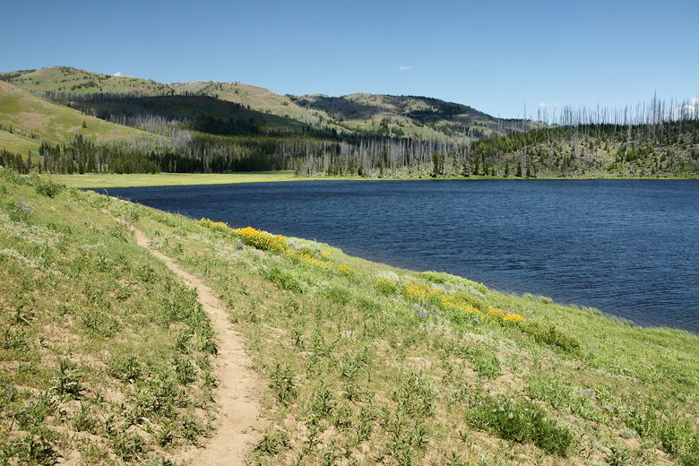
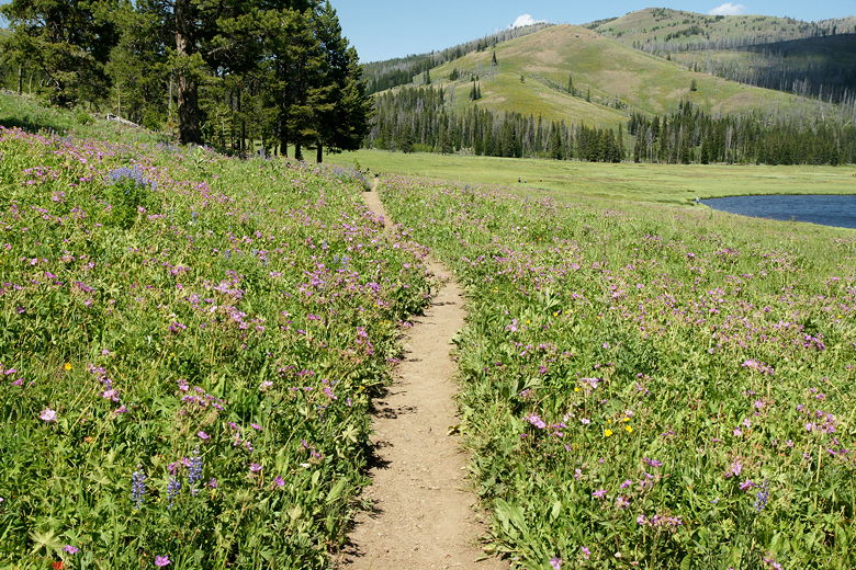
The next section of trail is relatively flat as it heads west toward the lake, in and out of trees
and through meadows, wildflowers dotting the way. We saw a few scattered hikers, many of them
fishermen. A little over a mile in, we turned right to stay on the trail (to the left is the
Cascade Creek Trail).
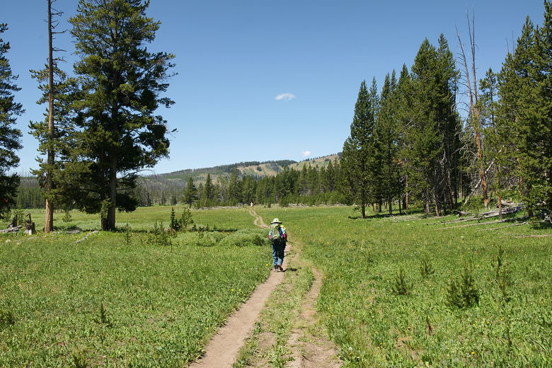
Heading out through the meadows
More of the same
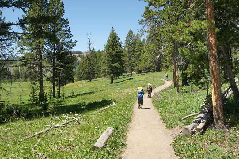
From here it's much of the same. We crossed a few small streams, and then the trees gave way
mostly to meadow. As we approached the lake, the way become muddy. In several places there
were slight detours through the grasses to try to avoid the mud. Soon we could see the lake
ahead of us, tucked off to the left.
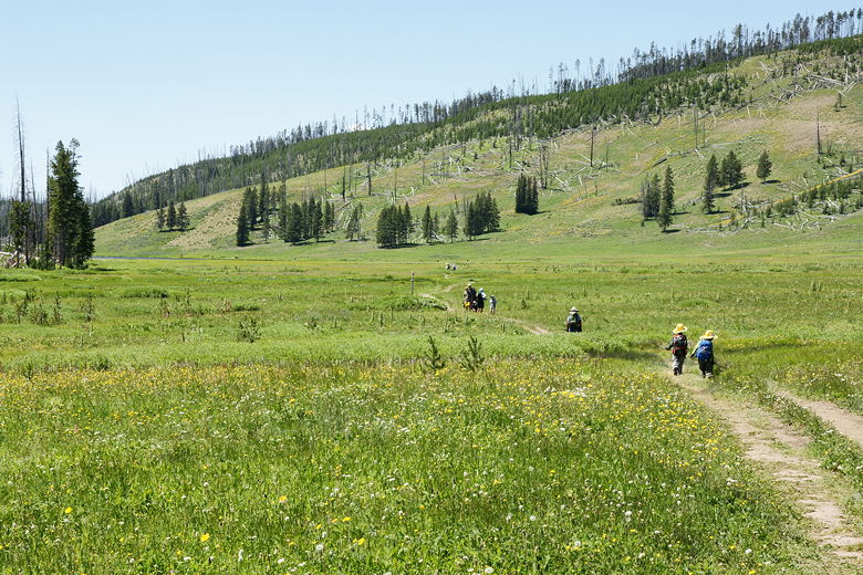
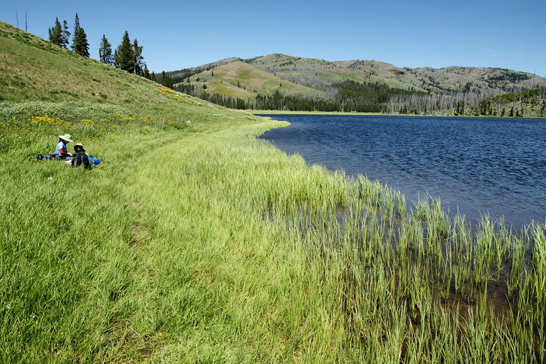
Out in the grasses before the lake, which is ahead on the left
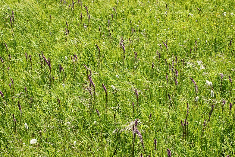
Flowers
When we arrived at the lake, all the nice shady spots above the lake were already taken.
We walked to the far (southwest) end of the lake, and settled down on the grasses near the
water for lunch. The edge of the lake is pretty much grassy all the way around. There are
backpacking campsites in the forest near the southwestern end of the lake.
Grasses at the far end of the lake
Far end of the lake
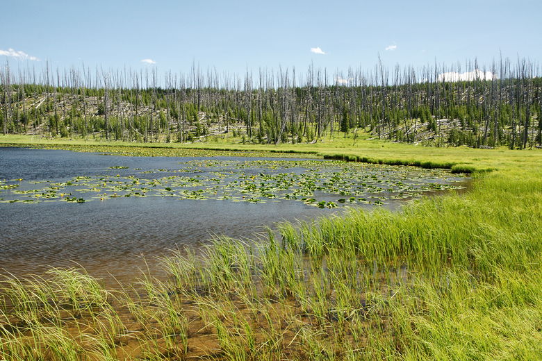
The lake is pleasant if unspectacular. The eastern side is lined with burned-out trees,
probably remnants of the 1988 fires. The western side is dotted with flowers and grasses.
After lunch, we returned the way we came. If you are up for a more challenging hike to a
view, you can turn left near the northwestern end of the lake and head up to Observation
Peak. That would add about 6 miles to the hike.
Trail heading back next to the lake
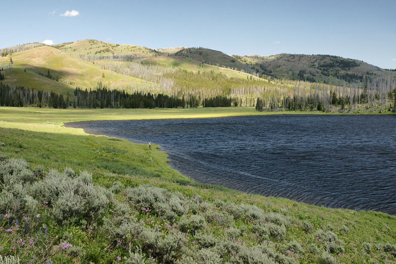
Fisherman in the shadow of the cloud
Heading back past wildflowers
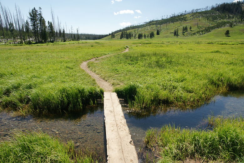
Looking back after crossing a small bridge
We opted for the shorter hike, however. The hike back was easy and uneventful; we arrived
back at the parking lot a little over an hour after leaving the lake.
| 

