|
The parking lot looked to be full as we came to Rodeo Lagoon, so I didn't bother to drive all
the way there. Instead I parked into the dirt pullout on the left side of the road next to
the lagoon, across from the old barracks of Fort Cronkhite. There was plenty of roadside parking
on this spring day around noon.
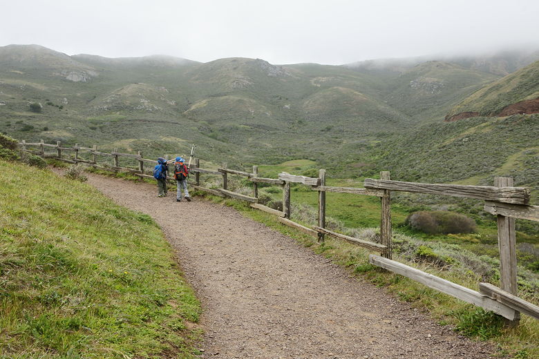
After getting ready, we walked along the road to the trailhead.
We saw people enjoying the beach even on this cloudy day, with wave after wave crashing down
on the beach. We left the beach behind, hiking up the road which serves as a trail before
turning left onto the hiker-only singletrack (bikes are restricted to the road part of the
trail). We didn't see any bikes on the climb up to Hill 88, probably because the bike trail
dead-ends there, and there's actually a section of the road that's washed out (the hiking
trail is routed around this section).
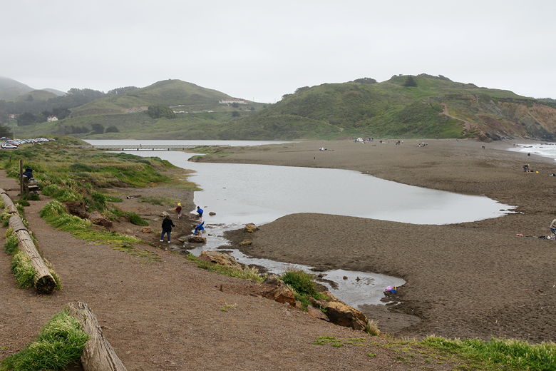
Western end of Rodeo Lagoon
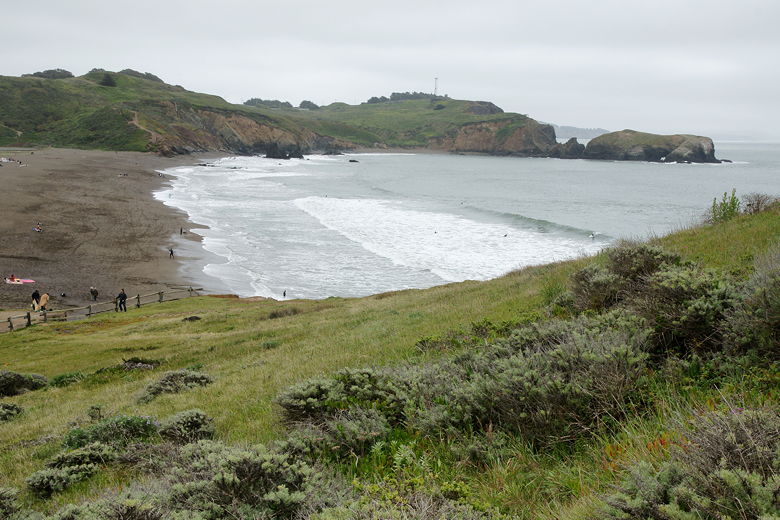
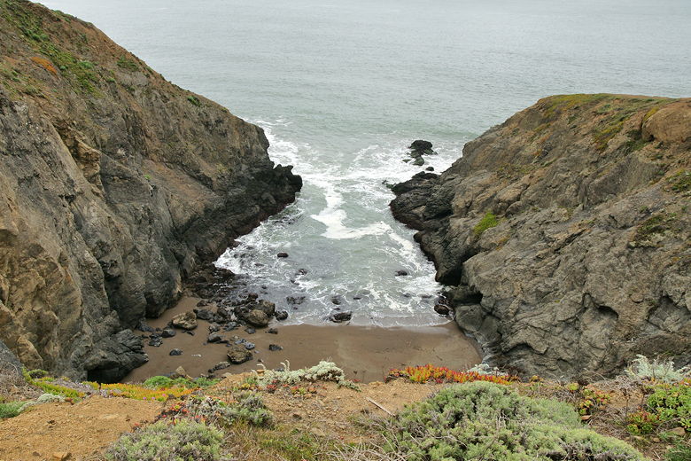
Rodeo Beach
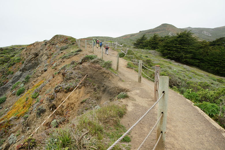
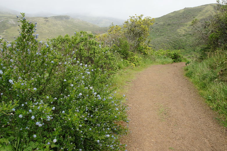
The trail climbs steadily up, with increasing views of Rodeo Lagoon and the beach below and
occasional views of the ocean off of short spurs. After enjoying some nice views from the
singletrack, the trail rejoins the road and continues climbing. If you're following this
route, just follow the signs that mark the Coastal Trail, and basically keep heading uphill.
Looking out at the hills
Hiking alongside steep ocean cliffs
Looking down at the ocean from the trail
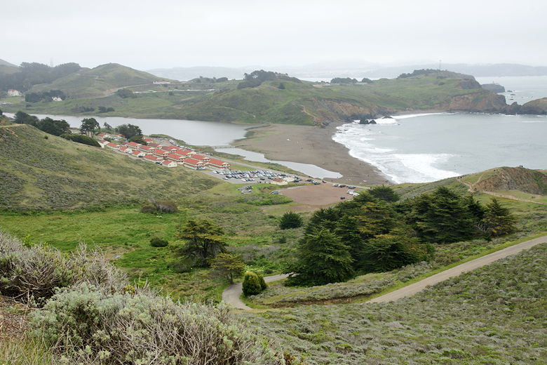
View of Fort Cronkhite, Rodeo Lagoon, and the beach from the trail
The trail is pretty much completely unshaded, but that wasn't an issue today as it was cloudy.
After a climb up to about 350 feet elevation, we reached Battery Townsley, a World War II era
battery. It was constructed in 1938 and housed a machine capable of firing a 2100 pound
projectile 25 miles away. Of course the gun is long gone. We walked right through the front
door into the open space where the gun used to be, then walked toward the edge to look out
to the ocean.
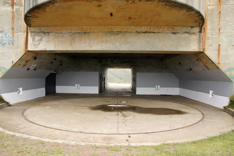
Imagine a big honking gun in this big empty space of Battery Townsley
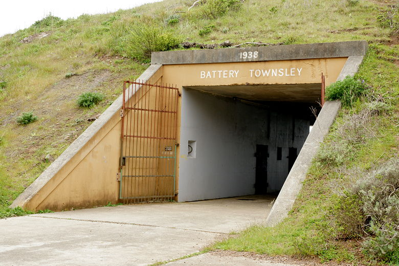
Entrance to the battery
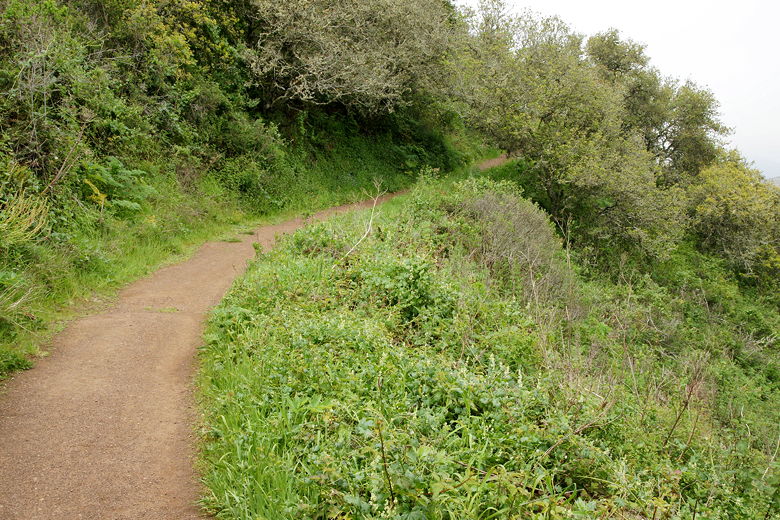
After a brief stop at the battery, we continued up the trail/road. The road gives way to
singletrack and then a steep set of rock and wood stairs. There are alternating sections
of road and singletrack. We came to another (much smaller) concrete structure just off the
main trail. Graffiti covered the rusting doors and walls. Interestingly, I had just read
a newspaper article lamenting graffiti invading our parks.
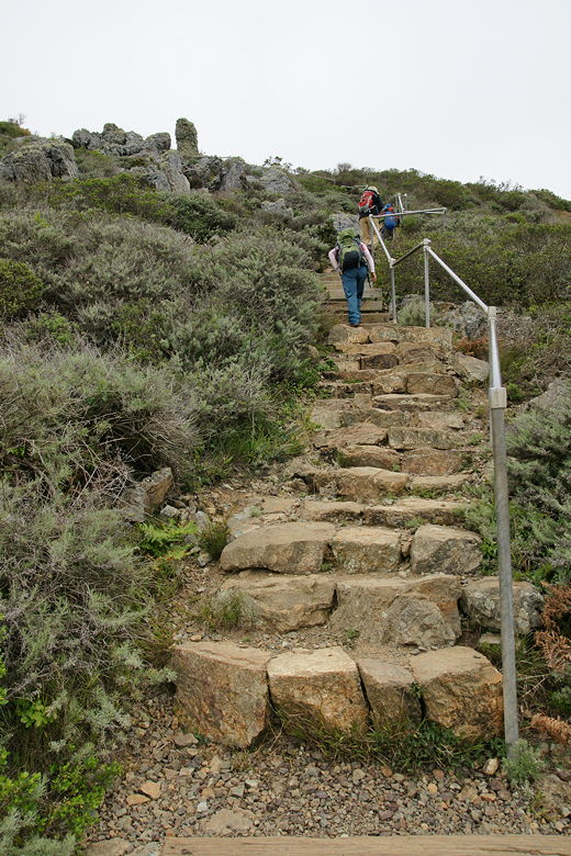
Heading up the rock and wood stair section
We returned to the main trail, which at this point is a wide dirt road heading mostly east
(up to this point the trail had headed mostly north). The trail slogs mostly uphill for a while
before reaching a trail intersection. At this point there's the Coastal Trail heading down west
to Tennessee Cove, the Wolf Ridge trail heading down northeast to the Miwok Trail, and a short spur
trail heading east up steeply (but shortly) to our destination.
The road climbs steeply in a fenced-in corridor, to the flat top that is Hill 88.
Abandoned buildings and concrete structures fill the area, along with a helicopter
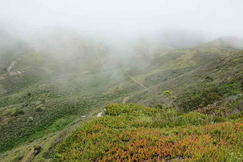
landing area painted bright yellow. The views from here are supposed to be great, but
unfortunately right about this time the fog started streaming in. To the south was a gigantic
unpenetrable blanket of gray. To the north we could see a little down into the Tennessee
Valley. We settled down for lunch near the helicopter pad, which provides some views to the
north.
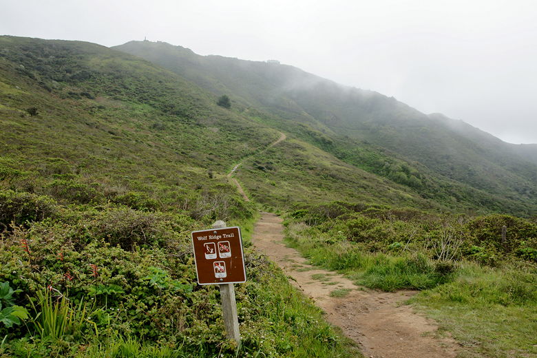
Looking down at the Wolf Ridge Trail past iceplant on Hill 88
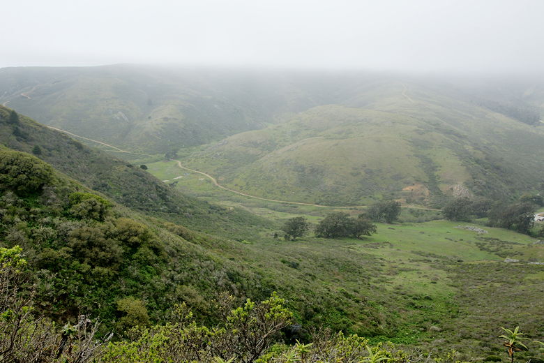
After lunch, we returned to the trail intersection, then took the Wolf Ridge trail to continue
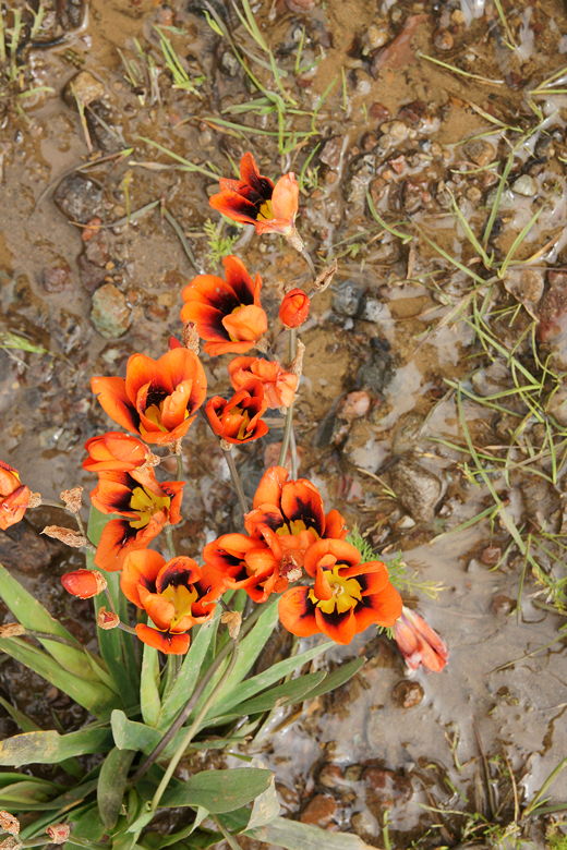
our loop trip. This trail descends steeply. We passed several kinds of wildflowers along the way --
irises and poppies to name a couple. We could clearly see the Tennessee Valley Trail (to our
left) we had taken about a year and a half ago to Tennessee Cove.
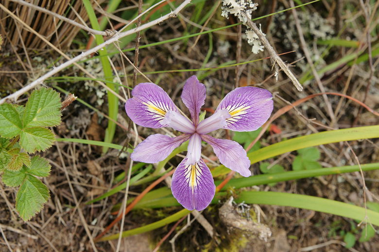
Iris by the trail on the way down
Looking out across the valley to the Tennessee Valley Trail
Baby blue flowers next to the trail
Looking back along the Wolf Ridge Trail
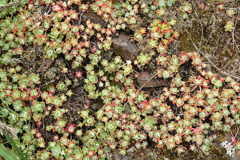
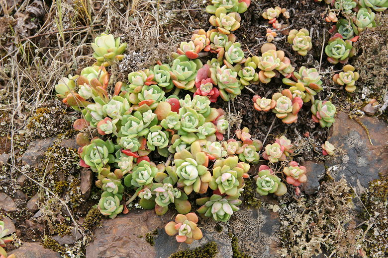
Tiny trailside plants
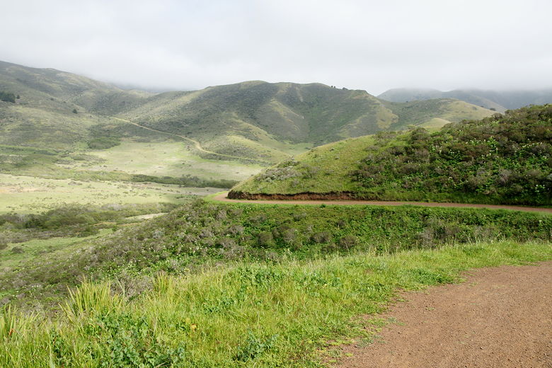
The trail mostly levels off just before it reaches the Miwok Trail. The sun was starting to
come out as we turned right onto the Miwok Trail and continued our descent. We started
seeing mountain bikers, most of them headed uphill as we headed downhill. Raptors (perhaps
turkey vultures) soared in the sky above us.
Looking back up at the Wolf Ridge Trail from the intersection
Wildflowers next to the trail

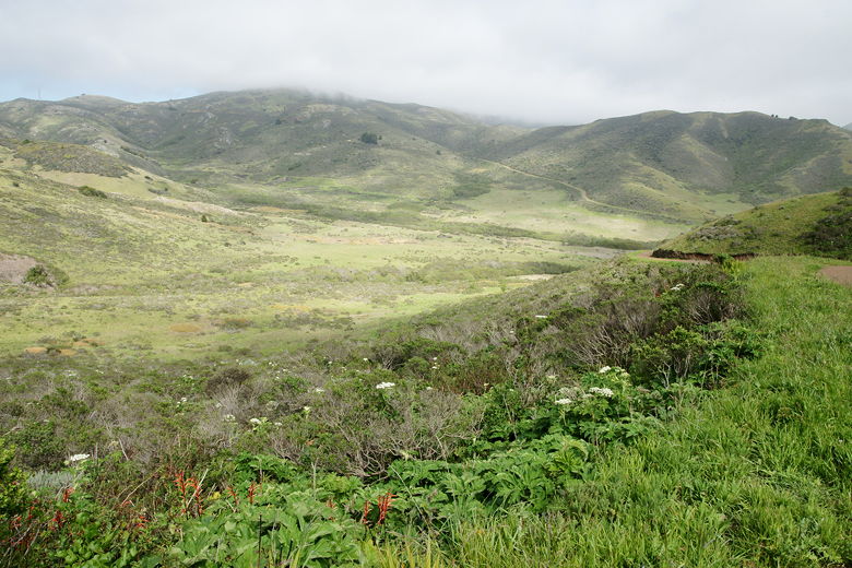
Looking out across the Gerbode Valley
We continued down the wide dirt road, eventually reaching Bunker Road. We crossed the
road and picked up the Rodeo Lagoon trail on the other side. We took this all the way back to
our car. If you want to avoid having to hike next to cars traveling along this road, you could
instead turn left and circle around Rodeo Lagoon clockwise. This would slightly increase your
hike distance, but would probably be more pleasant. In general, it was a decent if not
spectacular hike. Perhaps you'll have better luck and avoid the fog and enjoy better
views.
Heading down the Miwok Trail
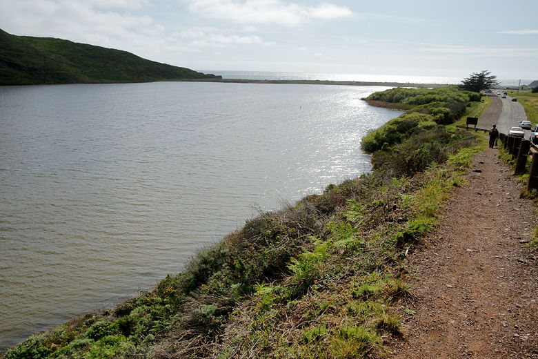
Trail next to Rodeo Lagoon
| 

