|
When we arrived around 10am, there were only about 5 cars in the parking lot. We found a prime spot right near the start of the trail. After prepping, we headed over to the railing and took in a nice view of the ocean below. Then we continued along the paved path next to the railing heading to the right (south).
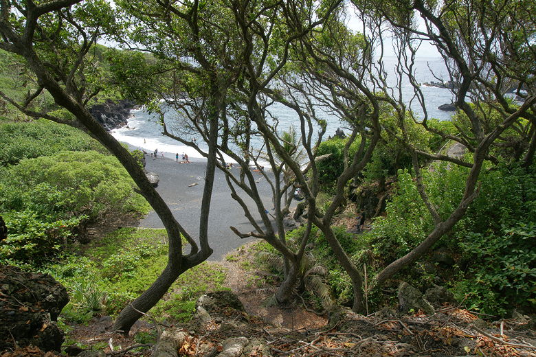
Pailoa Beach
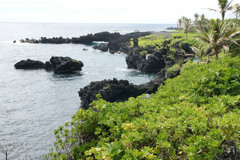
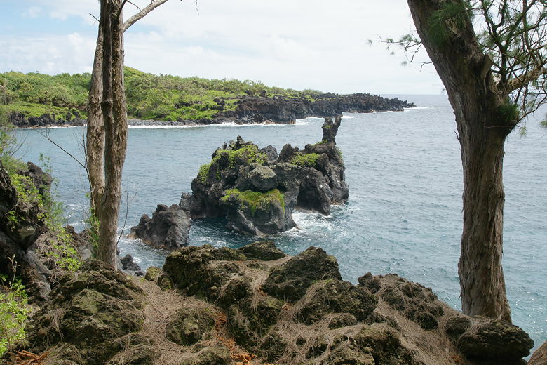
Looking south along the coast
Very shortly we turned left to go downhill to Pailoa Beach. There were people sunning themselves, while others swam in the ocean. Our boys threw rocks in the water (away from the swimmers) for several minutes before we were able to pry them away.
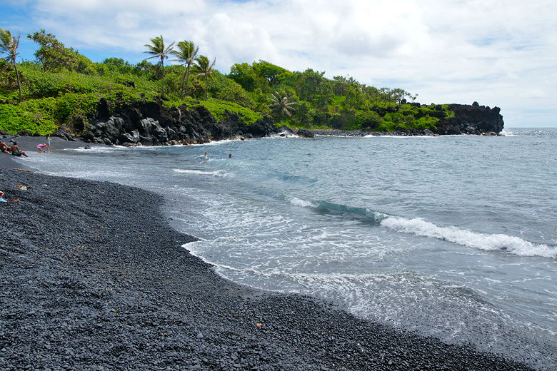
Waves rolling in at Pailoa Beach
Also here is a small tunnel leading to the ocean, but it was too small for us to explore. We retraced our steps
back up to the paved
path, continuing south. Later, a sign pointed us toward a blowhole and we followed it. We stopped short of the blowhole itself, as a second sign told us not to go any further. There was no water spewing from it when we arrived.
Looking back at the beach from up on the trail
Rocks along the coast
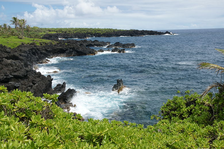
Looking north along the coast
We then turned right and continued on the now dirt trail heading south along the coastline.
We soon passed a small cemetery on the right.
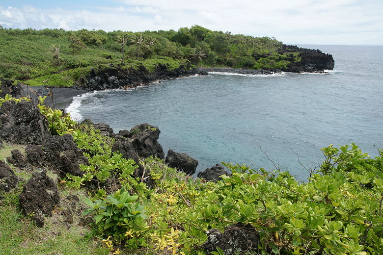
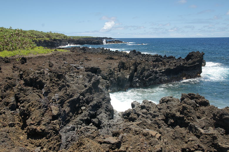
Waves crashed onto the lava rocks making up the shore. A natural archway was visible. Now that we were on the dirt portion of the trail, we noticed that we were basically the only ones on the trail.
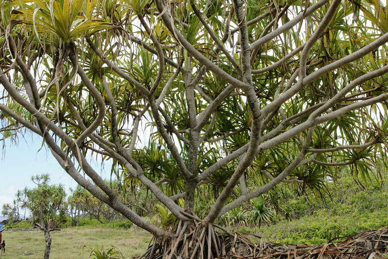
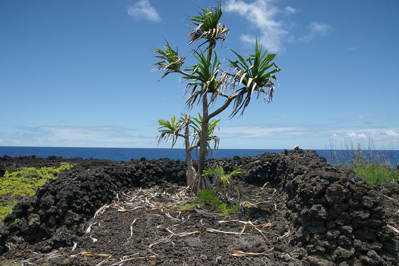
We passed under coconut trees and others which I could not identify. There was some sort of small
orange fruit on the ground but I couldn't figure out what it was. Later I would learn that this
is the fruit of the hala tree. It's a bit confusing because hala trees have fruit that look
like pineapple from a distance, but in fact the fruit is made up of dozens of these
smaller fruit packed tightly together (and they change color from green to orange).
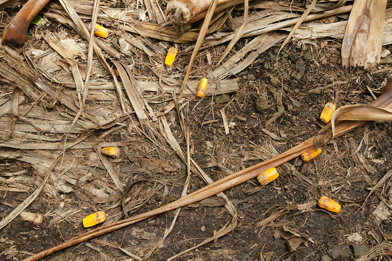
Fruit from the hala trees
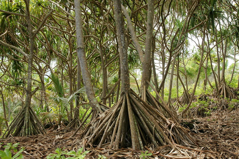
Hala trees
We passed many impressive displays of the power of the ocean. Probably the most powerful was when we passed over a natural bridge with water crashing through a hole beneath us into a deep pool, the water rising and falling over and over again in a powerful fashion.
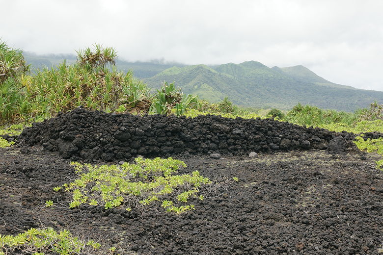
The trail started to pass over pumice rocks, with larger flat rocks placed regularly to aid in hiking. Next we reached a sacred site (Ohala Heiau) with a few ruins. Then we came out into a grassy clearing which we thought was a perfect spot to have a picnic lunch.
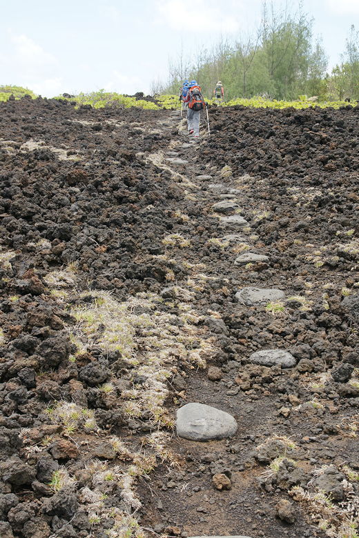
Trail stones lead the way over pumice
Ruins at Ohala Heiau
Hala tree at our lunch break
Tree growing amid ruins at Ohala Heiau
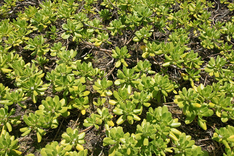
Plants covering the ground
After lunch, we turned around and headed back the same way we'd come. By the time we arrived back at the parking lot, about 2 hours after we'd left it, it was completely different. It was now packed with cars from all the day trippers. Cars were parked along the sides of the lot, and all along the road leading up to it. In other words, the parking lot was overflowing.
So if you are planning to do this hike, try to arrive in the morning before all the day trippers arrive, or in the late afternoon after they've left.
Rocky coastline (view looking north)
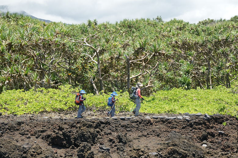
Heading back along the trail. Notice the pumice, the ground plants, and the hala trees.
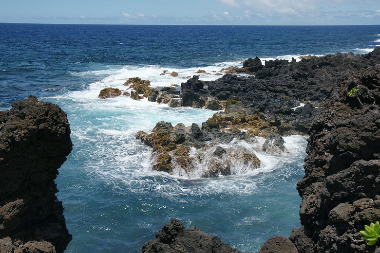
Powerful ocean
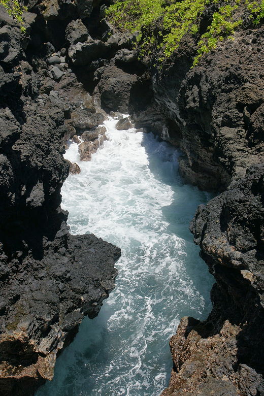
This doesn't look like much, but I'll post a video showing the water crashing into this tiny cove repeatedly.
| 

