|
After driving on the dirt road to get to the trailhead, I was surprised to find that
the parking area itself was paved. There's space for about a dozen cars, and there were
only 3 other cars when we arrived. However, it's a very short hike so there's a lot of
turnover. There's a pit toilet here if you need it, but no running water.
The trail rises gently uphill through an open forest. We saw some wildflowers and a
couple snowplants, but nothing else of note on the way in. One person did say that
someone recently saw a bear here off the trail, but we didn't see any.
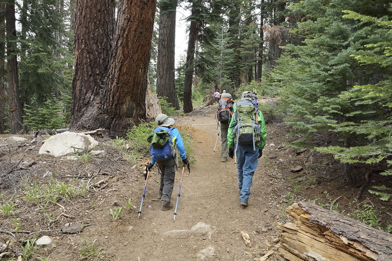
Heading up the trail
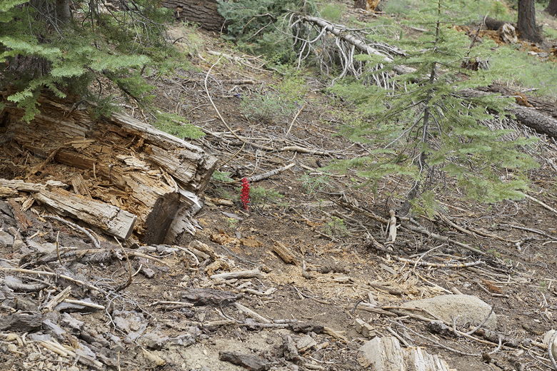
Snowplant
After a short walk, we turned a corner and suddenly saw the falls right in front of us,
framed by trees. The trail is almost perpendicular to Rancheria Creek, so you basically
won't see the falls or water of any kind until you're almost there.
There were already a handful of people at the falls, and many more
would come while we took a break there. Even though it was still June, this had been
a very dry year, so the falls were not flowing that strongly. Still, it was a pretty
sight.
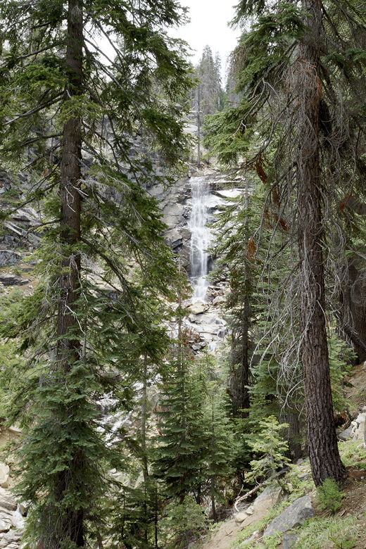
First view of Rancheria Falls
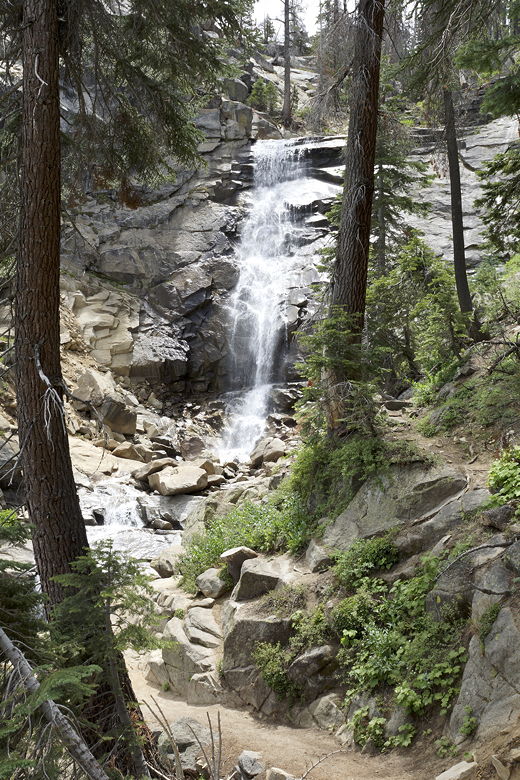
Rancheria Falls
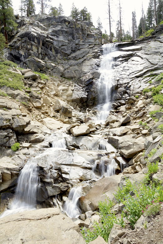
Rancheria Falls
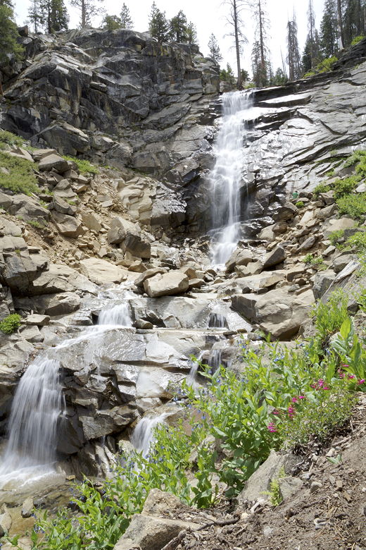
Rancheria Falls
The trail is easy enough that we even saw a person in a wheelchair make it to the falls.
On the way back, Jean and Jared spotted a marmot (while I was further back, taking
a picture of a snowplant). Unfortunately they didn't get a picture of it.
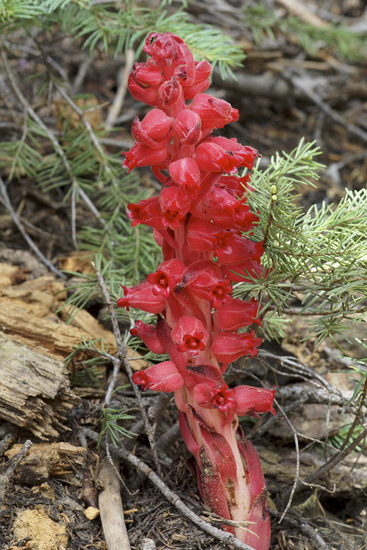
Snow plant
Back at the parking lot, we saw that it was nearly full now.
| 

