|
We wanted to make sure we finished the trail early today so we'd have time to
eat something at the visitor center before our scheduled 3pm pickup. So
we woke up around 6:30am, only to find both the other tents already packed away.
After a pleasant (cold) breakfast on the beach (didn't want to deal with the stove),
we packed up and left at 8:15am.
Soon after we left Echo Point, we saw a tiger snake to our right. It slithered up and
slightly away from us as we hiked. It never looked threatening, though it is highly
venomous and potentially fatal. We just kept on walking by, though I did manage to
take a few quick pictures.
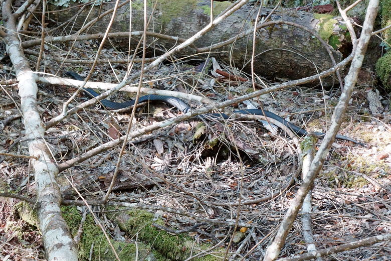
Tiger snake
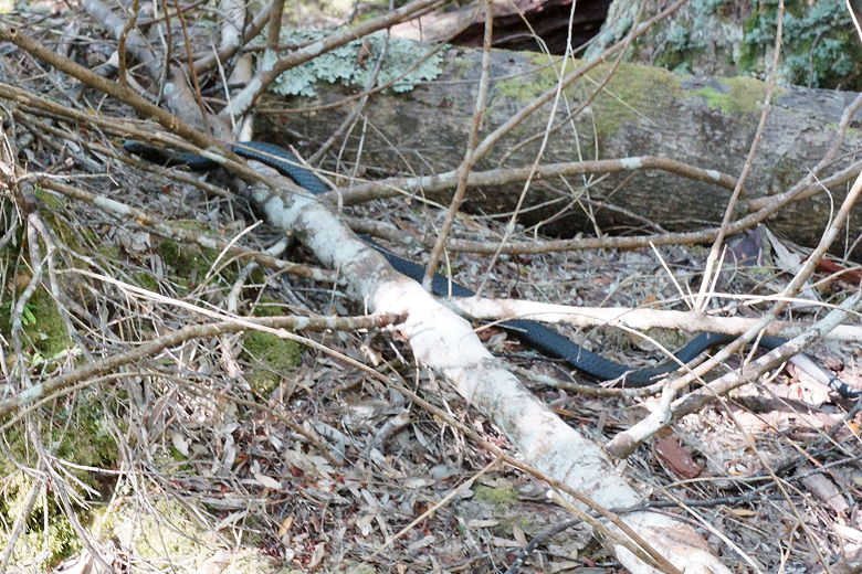
Tiger snake
We continued through the rain forest, sometimes getting a view of the lake to our left.
Around 9:45am we saw day hikers approaching from the opposite direction. I'm guessing
they probably were hiking to Narcissus Bay or further and would take the ferry back. Or
perhaps they were going up to Byron Gap. It was still early.
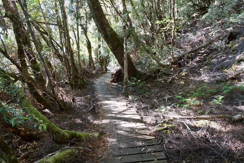
Duckboard through the forest
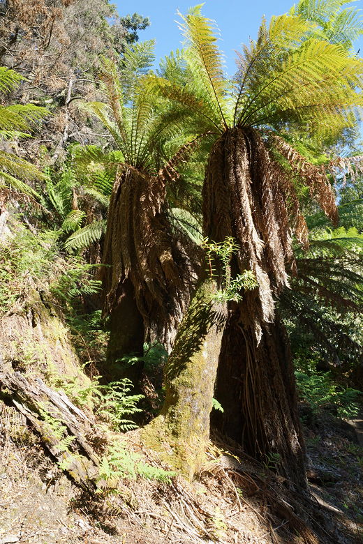
Ferns
A little further on, we got passed by some day hikers from behind. We'd play leap frog
with them and would learn that they had taken the ferry to Echo Point and were hiking back
from there.
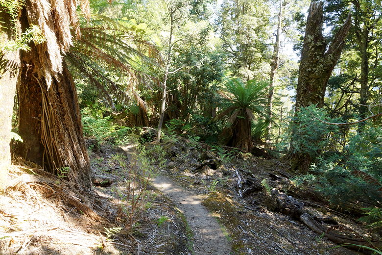
Rainforest
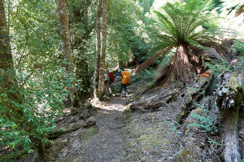
Through the rainforest
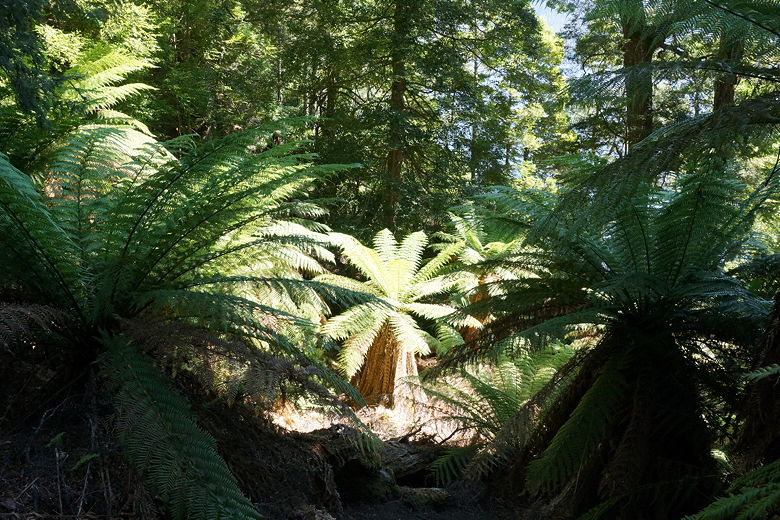
Ferns
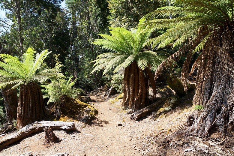
More ferns
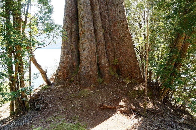
Base of a tall tree
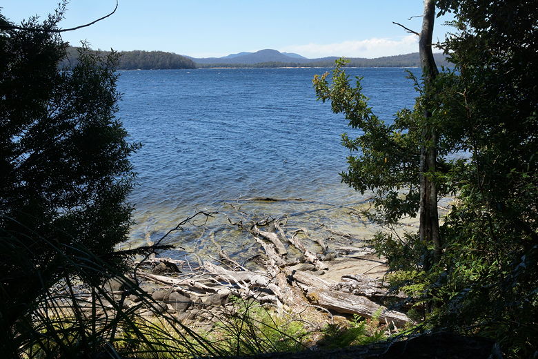
Lake St. Clair
As we continued through the rain forest, we continued to see a trickle of day hikers
coming from the opposite direction. The trail grew wider and the hiking easier, and then
opened up into eucalyptus forest. Winds whipped through the eucalyptus as we neared
the end of our trek.
We reached the intersection for the short Platypus Bay loop. Here we started seeing
lots of people. From the Platypus Bay intersection, it was another 25 minutes,
mostly on wide paved roads to the visitor center.
We arrived at the end of the Overland Track at 12:40pm. There's a trail sign here that
looks exactly like the one at the start of the track. We took a picture here before putting
our packs down and signing the log book at the end of the track.
Then we entered the restaurant for a nice post-hike meal. While we were there, a ferry
arrived and some of the folks we'd seen on the trail came through the restaurant as
well. We saw the two ladies who'd beaten us to the Pelion Hut, as well as the couple
we'd seen in the forest after hiking through the mist. Jared said he later saw the group of 6 outside.
We didn't see Gerard and Therese, as they were spending 2 more days on the trail. To
my slight disappointment, we never did see the JMT couple again.
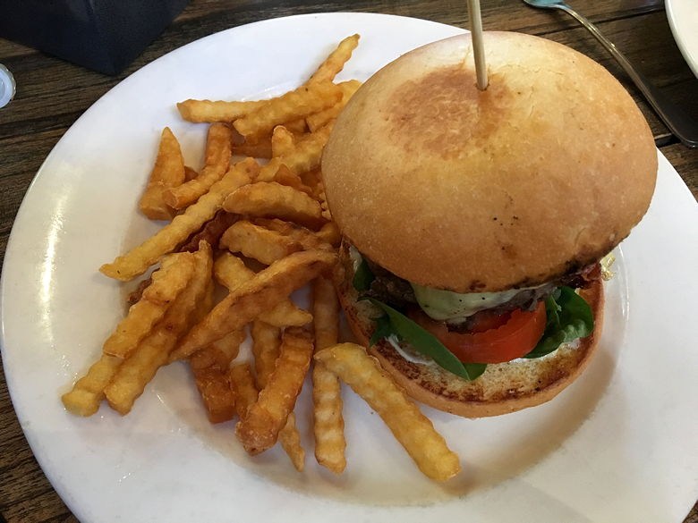
Well-deserved meal at the end of the trail
Our driver arrived early, around 2:45pm, with all our luggage. We loaded our
backpacks onto the van and we started the drive to Hobart. He mentioned that a wildfire
had started in Mt. Field National Park (which we'd visited earlier on our trip), and we'd
be driving through some smoke. Thankfully the smoke was never evident on the Overland Track,
but it was definitely evident on the drive. Even on the other side of the world, it seems
we can't escape the smoke of wildfires.
We arrived back in Hobart around 5:30pm. Back at our rental house, we washed up before
going out to dinner. As we were coming back, we saw a double rainbow over Hobart. I
can't remember ever seeing a double rainbow.
| 

