|
The large South Lake trailhead parking area had plenty of space when we arrived around 10:30am. It wasn't until we got to the lot that I remembered the last time we had been here: at the end of the North Lake to South Lake backpacking trip in 2013. We vividly remembered finishing the hike at this parking lot and then a hailstorm starting as we drove away.
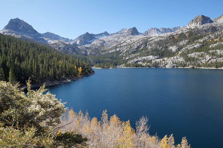
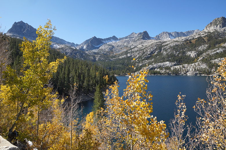
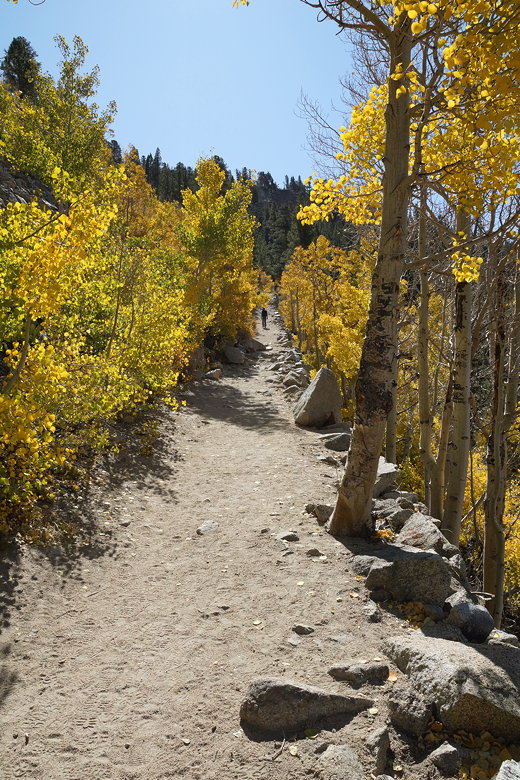
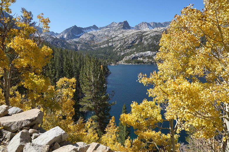
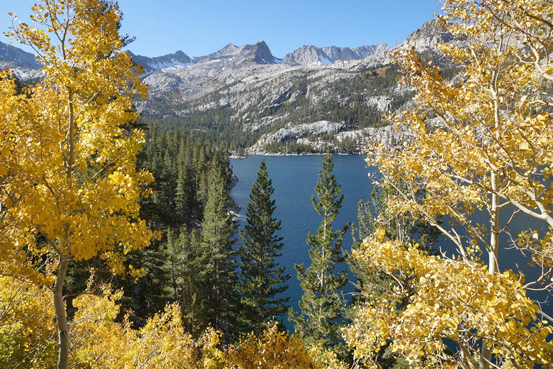
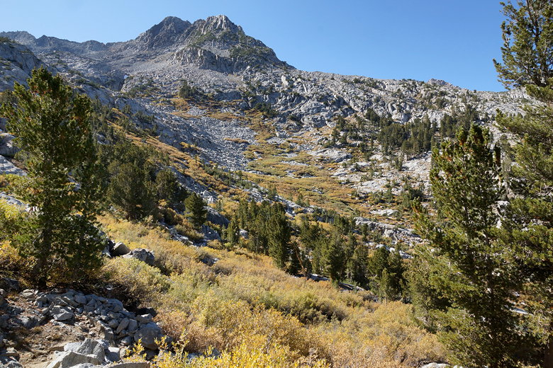
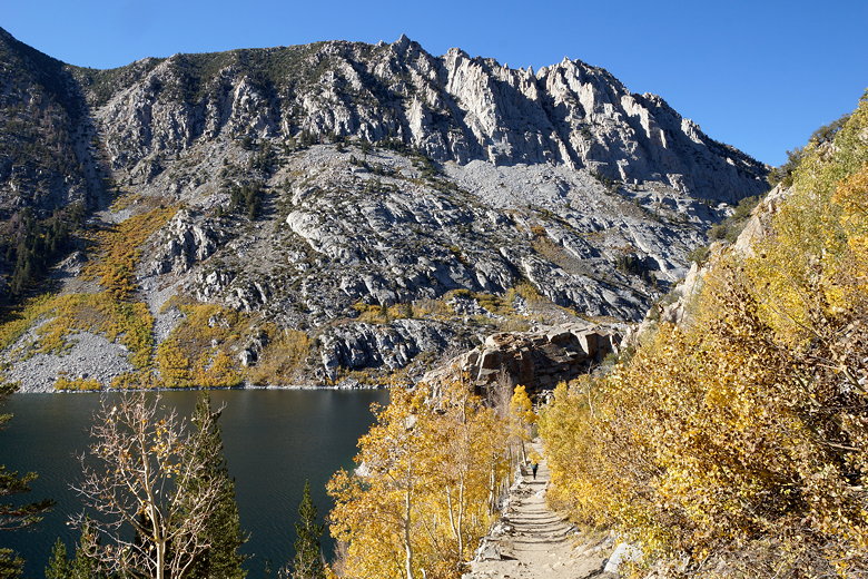
We also remembered that South Lake was very low that year, but that was not the case when we visited today. It looked beautiful under sunny blue skies, with yellowing aspen trees lining the trail. We descended on the trail, then followed the trail as it climbed high above the shore. Below, we could see many aspens were past peak, their leaves already fallen off. But there was still plenty of yellow along the trail.
South Lake
South Lake
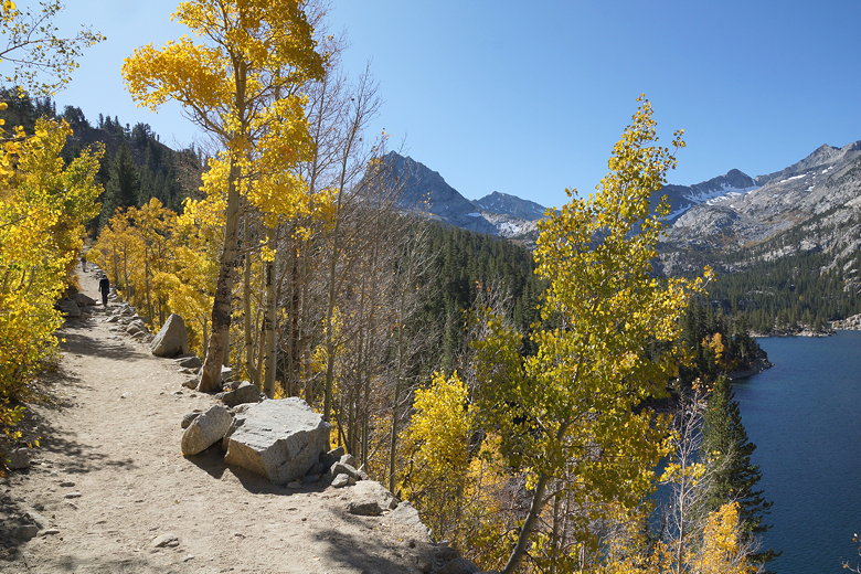
South Lake trail
South Lake trail
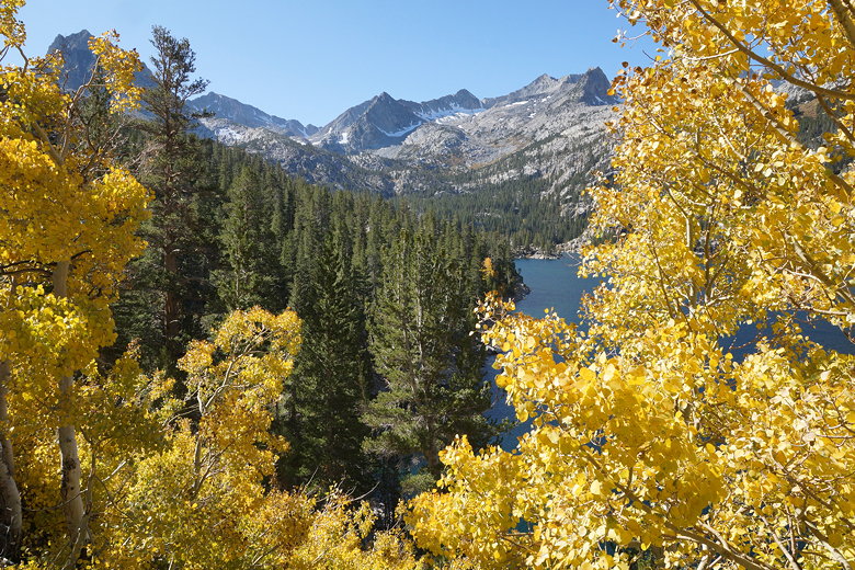
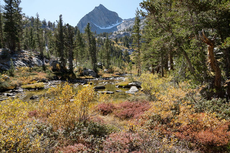
Fall color at South Lake
South Lake
South Lake
After about 0.8 miles, we reached a trail intersection. The left fork continues on to Bishop Pass (the direction we had come from on our backpacking trip). Today we took the right fork toward Treasure Lakes.
Treasure Lakes Trail
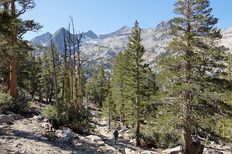
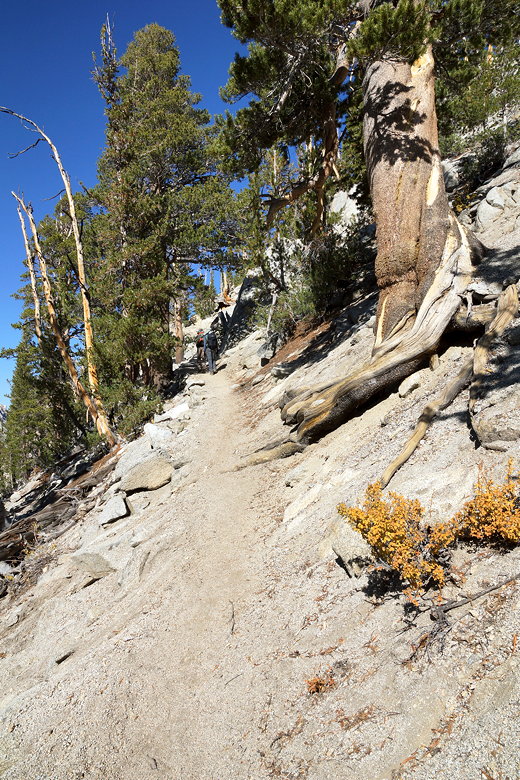
The trail continues through the forest, continuing to climb a bit more. South Lake is mostly out of view at this point, though there are occasional glimpses through the trees to the right. Suddenly, the trail starts plummeting steeply down. We hadn't expected this much downhill, and we knew that it meant climbing on the way back.
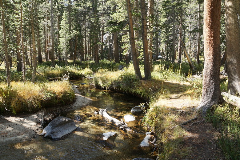
Creek next to the trail
We saw a few hikers along the trail, but nothing compared to yesterday's hike at Little Lakes Valley. We saw perhaps a total of 15-20 people on the Treasure Lakes part of the trail.
After descending some more, the trail levels out a bit and follows and crosses some small creeks. Then it starts climbing again, switchbacking up through the forest. This time, there's a nice payoff as we exited the dense forest and could look down and clearly see South Lake below.
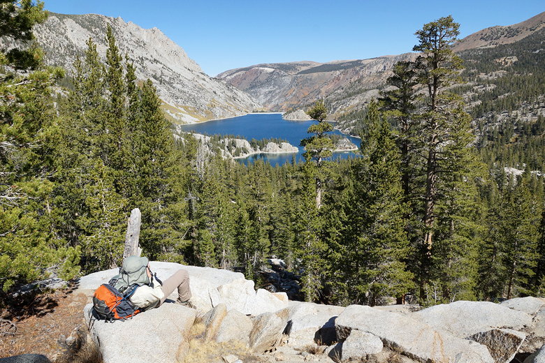
South Lake from the Treasure Lakes Trail
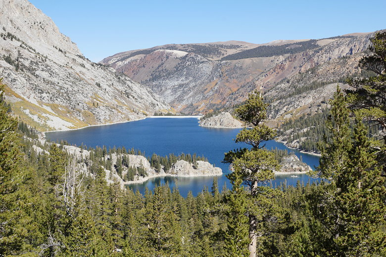
South Lake from the Treasure Lakes Trail
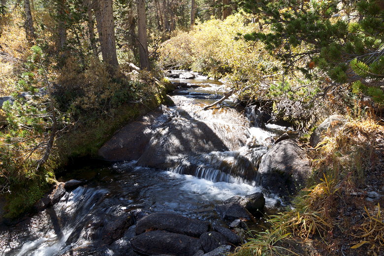
Creek near the trail
Pond
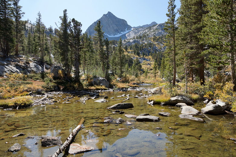
Pond
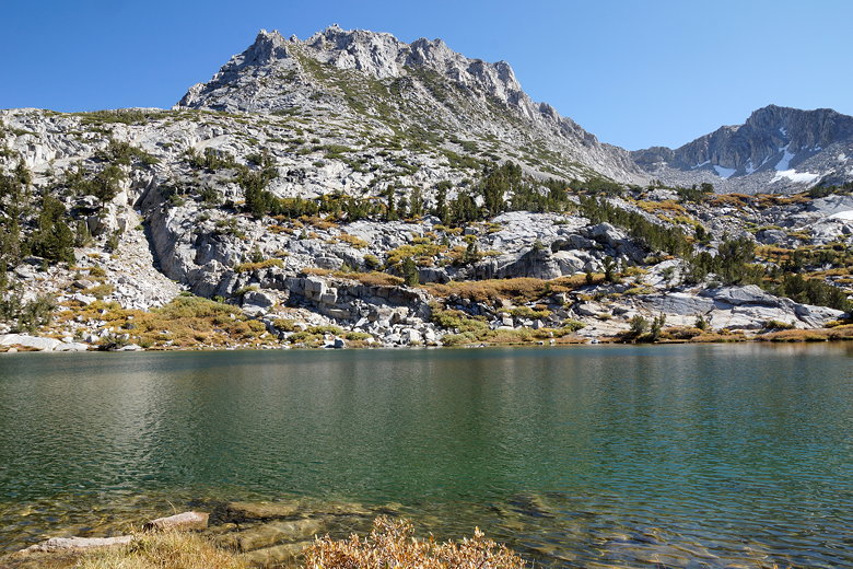
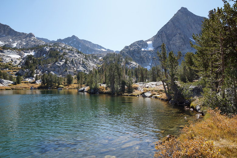
Now the trail criss-crosses granite slopes, with rock stacks marking the way. The trail crosses another creek, and continues to climb. The switchbacks never seem to end here, and you can't get a good read on where exactly the lake is. Finally, we finished all those switchbacks and reached the first Treasure Lake (and the larger of the two).
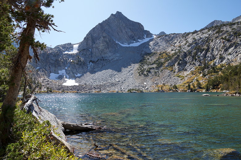
Treasure Lake
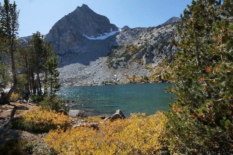
Treasure Lake
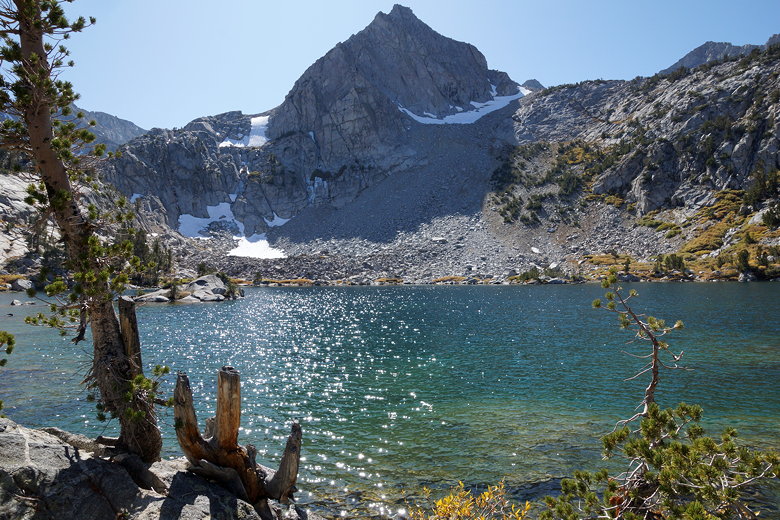
Treasure Lake
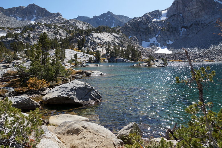
Treasure Lake
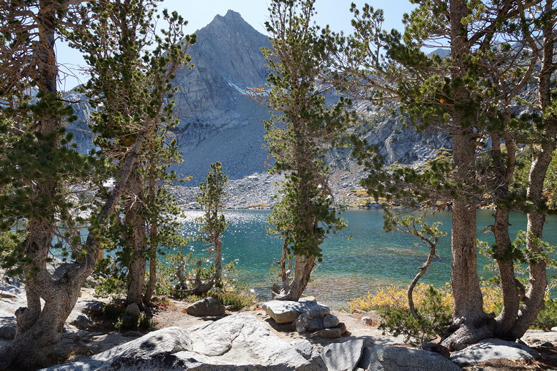
The lake sits below steep granite mountains, and open forests line the other shores. We found a nice spot near some nice sitting rocks next to the shore for a picnic lunch. After lunch, the others rested while I took a brief trip over to the other Treasure Lake, just 5 minutes away. It's not as nice as the larger one, but still worth a few photographs.
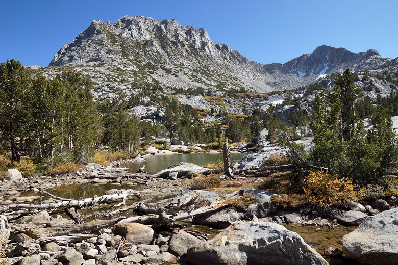
Mountains above the Treasure Lakes
The smaller Treasure Lake
The smaller Treasure Lake
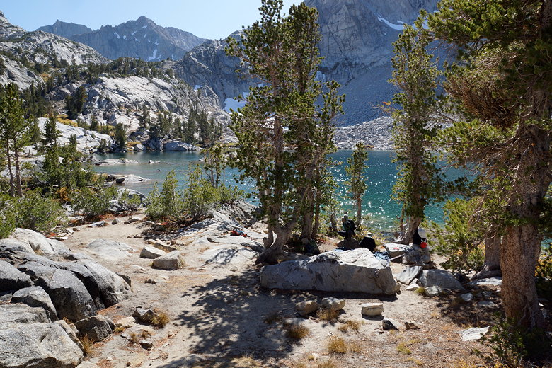
Treasure Lake lunch spot
Treasure Lake
After enjoying the lakes, we headed back down the trail. Down the switchbacks, back up the steep section, back to the intersection, and then back alongside South Lake all the way back to the trailhead.
Colorful hillside
Steep part of the trail
Descending alongside South Lake
| 

