|
This wasn't so much a hike as a post-dinner evening stroll from the
Albee Creek Campground. We walked from our campsite down to the field
next to camp. This is actually part of the Homestead Trail. The
gravel trail actually crosses a creek. There's no bridge, but
the water level was pretty low at this time. It would have been
easily crossable if we didn't mind getting our shoes wet or had brought
sandals. We decided to just turn around and continue along the
trail we'd been on, though.
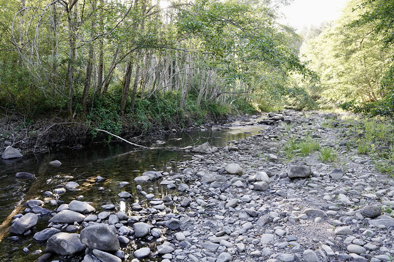
Creek
We came to another side trail to the creek but again didn't cross (though
this might have been rock-hoppable). Again we returned to the main trail.
The map we got from the visitor center doesn't show all the little
trails here, but we soon ended up on a trail climbing toward the Thornton
Trail. From here the
trail starts to climb slowly. You'll get a nice view of the fields
below. We came to a bridge and decided to turn around and descend and
return the way we'd come.
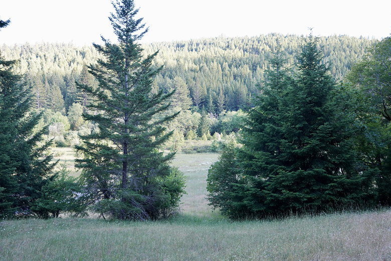
View from near the bridge
It's a decent walk if you're staying at Albee Creek Campground, but not
something you'd go out of your way to do.
| 

