|
We started this hike right from our campsite at Albee Creek Campground.
We walked down to the camp road, crossed the bridge we'd driven over
to get to camp, then immediately turned right onto the unsigned trail.
The trail goes downhill into the forest alongside a stream, past a few
campsites (1-3) and an old overgrown amphitheater that looks like it hasn't been
used in years.
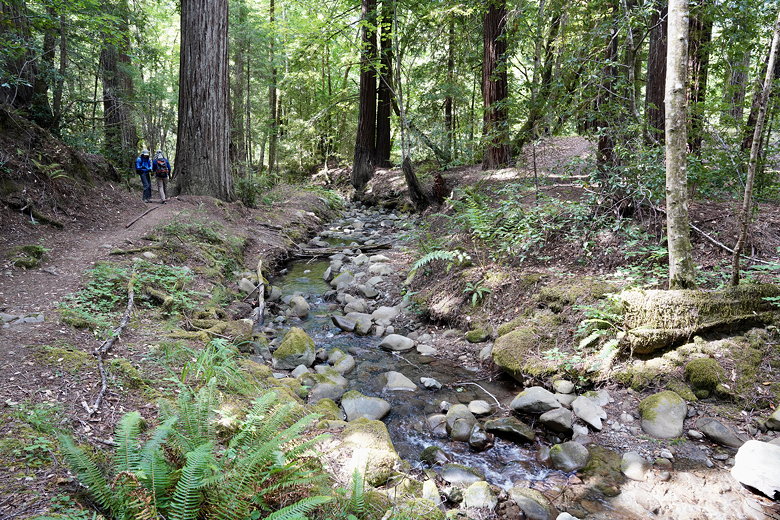
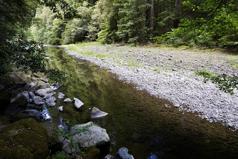
Walking next to the creek
After about 0.2 miles, we crossed Mattole Road and picked up the trail
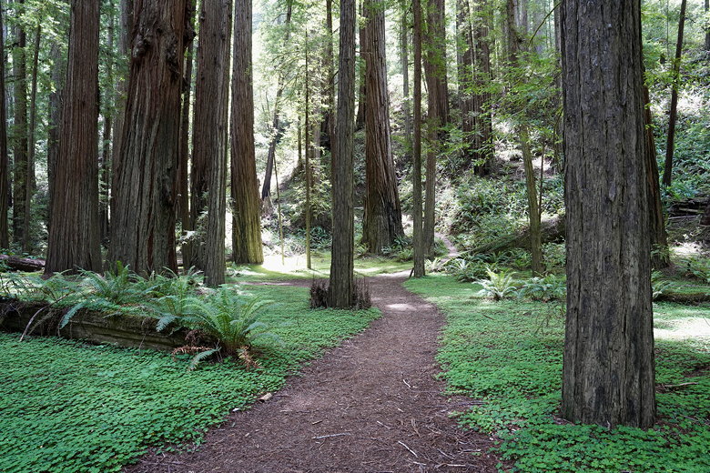
(the Big Trees Trail) on the other side. From here it's a nice flat trail
through the forest to the Big Trees day use area. This is a nice
stretch of forest leading to the Tall Tree. After admiring the tree,
we turned right and crossed the parking area to the left and started off
on the Bull Creek Flats Trail North.
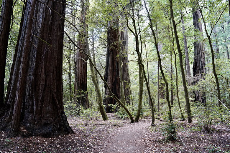
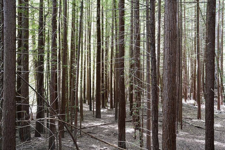
Forest
Forest
Redwoods
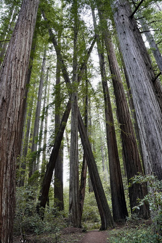
Trees make an X
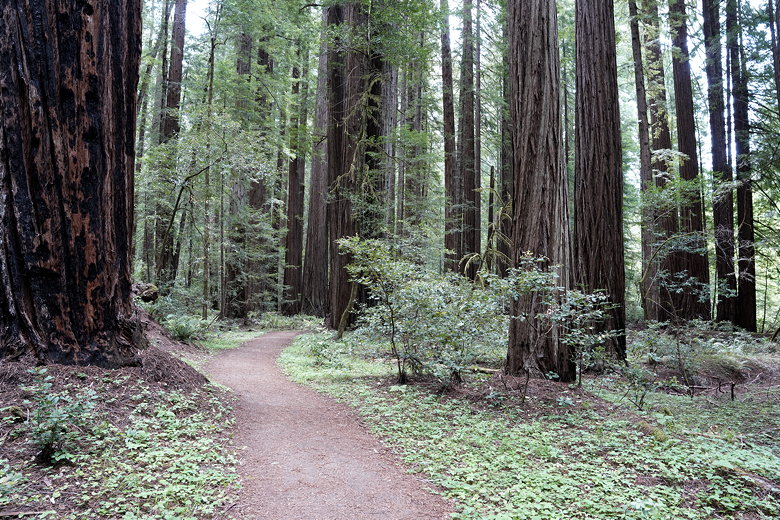
Trail through the forest
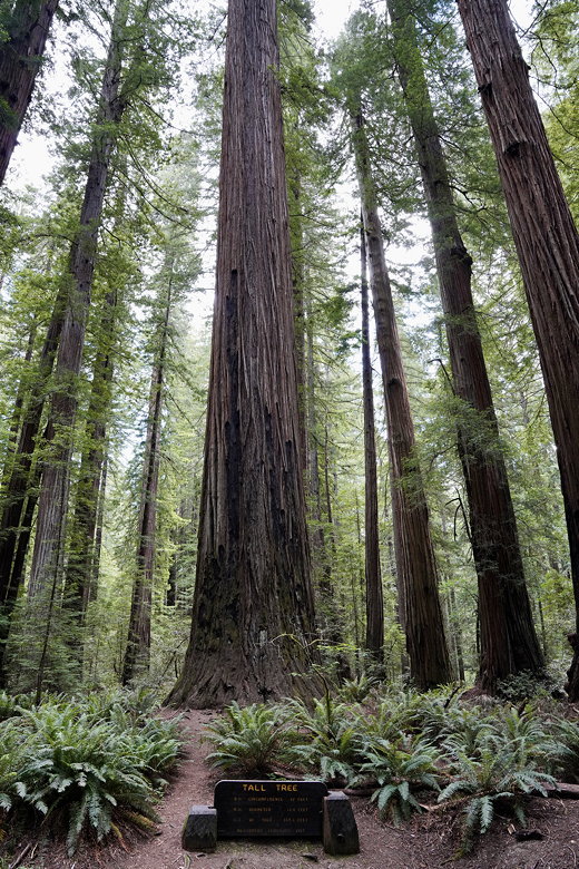
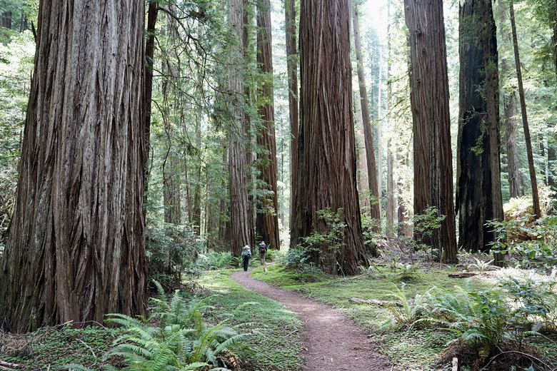
Tall Tree
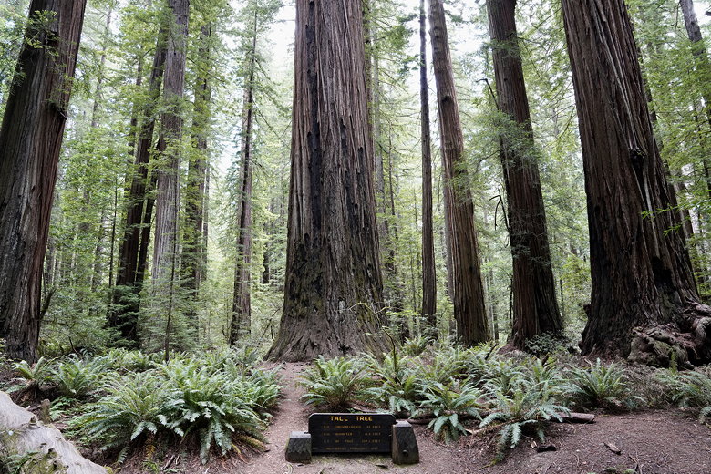
Tall Tree
Bull Creek is visible through the trees to the right, and at one point
we took a short spur trail to overlook the water.
After a quarter mile or so we reached the Blue Slide day use area. There
wasn't anyone at the parking area. We couldn't figure out where the trail
went. I looked at the map display next to the parking lot and it said
that the trail was rerouted for about 250 feet along Mattole Road.
Bull Creek
So we walked over to the road and followed it for what seemed like more than
250 feet (but I guess that was probably accurate). Only 2 or 3 cars passed us
while we walked. Eventually we picked up the trail again and followed it back
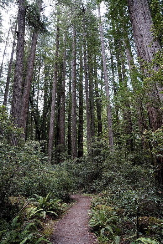
into the forest. From here it was a bit of a slog along mostly flat trail
for about 3.5 miles until we reached the seasonal bridge across Bull Creek.
(If it's before mid-June, check with the rangers to be sure the bridge is up
before doing this hike. We had checked in at the visitor center the day before
to confirm it was up.)
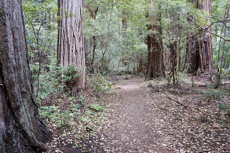
Walking through the forest
Forest next to the trail
We crossed the bridge, then climbed up a bit on the other side and found a nice
perch overlooking the bridge where we settled down for lunch. This area also
has a nice carpet of clovers beneath the redwoods. While we were here we
noticed several other hikers in the area below, as it's relatively close to the
Rockefeller Loop parking area.
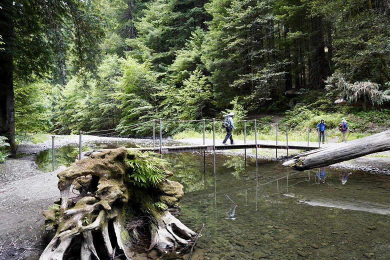
Crossing Bull Creek
Clover carpet
After lunch, we continued along the Bull Creek Flats Trail South. The trail climbs
up briefly, then comes to an intersection. We took the right fork to stay on the
same trail. From here the trail is somewhat nondescript. While the trail sort of
parallels Bull Creek going back in the opposite direction from the start of the hike,
the creek is too far away to see or hear. It's about 4 miles until
the next point of interest.
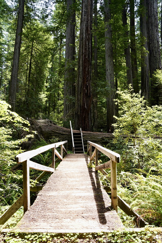
Bridge and ladder over a fallen redwood
We reached another intersection, seeing a large group of hikers heading along the Johnson
Camp Trail to our left. We stopped briefly, then continued along our trail until we
soon came to another intersection. To the right was the Big Trees area, so we
stayed to the left. We soon came to yet another intersection, where the signs were
confusing. There was a trail straight ahead and a fork to the right. In front of
us was a trail sign saying "Johnson Camp Trail" pointing to the left (not really in the
direction of any trail). I assumed that at some point the sign had been turned around
and should have been pointing toward the trail we were on. So we went straight ahead
cautiously.
After about 0.2 miles, we saw that the trail was veering left and slightly uphill and
thought we probably had the wrong trail. Maybe this trail really did go to Johnson
Camp, which would be way out of the way. So we decided to turn around and take the
well-known path back and to the left, soon crossing the creek on a seasonal bridge
and coming to the Big Trees parking area we'd crossed several hours earlier. From
there, we retraced our steps back to the Mattole Road crossing, then uphill back to
Albee Creek Campground.
I looked at the GPS tracks later and it does look like we were actually on the right
trail when we turned around. Perhaps the trail had to get re-routed at some point
due to fallen trees, which made it appear to go the wrong way. So if you are curious,
the plan had been to continue along the Bull Creek Flats Trail South, reaching Mattole Road
a little past the crossing, then turn right onto the road and back the way we'd started.
I'm guessing we probably didn't miss all that much, though.
| 

