|
The trailhead for the Rockefeller Loop is a bit hard to find. It's
off Mattole Road, fairly close to Highway 101, but there's no sign
from Mattole Road, and the two short roads leading to the parking area
are relatively narrow and downhill from the main road. Plus, it's
dark. The forest is thick here, so go slow and make sure you don't
miss the turn.
The small lot was mostly full, so we parked in a little pullout next
to the road. Then we walked over to the start of the loop. We took
the right fork. There are lots of tall trees, of course, and...not much
else. It's a very short hike, barely half a mile, and almost no
climbing. It's pleasant enough, but it was over before we knew it.

Redwoods
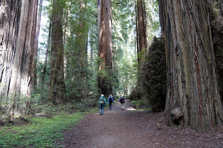
Walking through the redwood forest
If you have time, you can take a side trip to the Bull Creek Flats trails.
That's definitely worth it (especially the part just past the seasonal
bridge crossing over Bull Creek), but since we were going to do that
entire trail the next day, we skipped it for now.
|


