|
The parking lot was almost full, but there were 1-2
spots still left when I arrived in the afternoon.
There are pit toilets here, but no water.
The trail starts descending immediately before coming
to the start of the loop. Redwoods tower overhead
and you can choose either direction. The entire loop
is only about half a mile. I chose the left path.
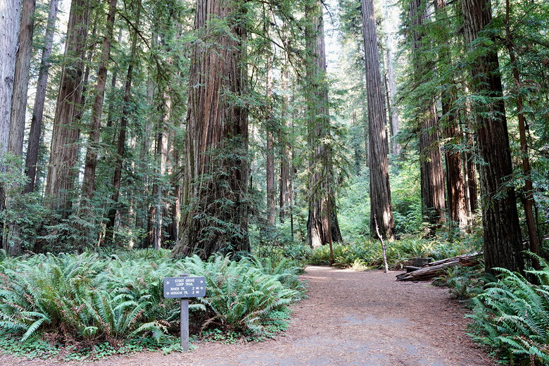
Start of the loop trail
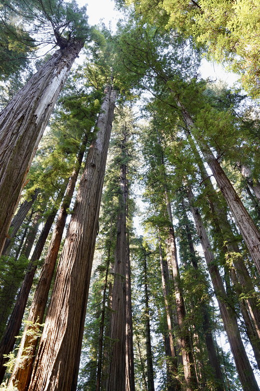
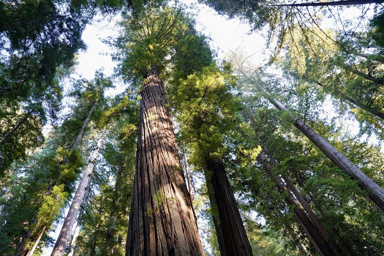
Looking up at the trees
Fern-covered forest floor
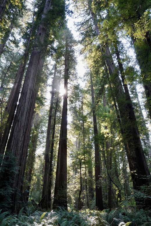
Sun shining through the forest
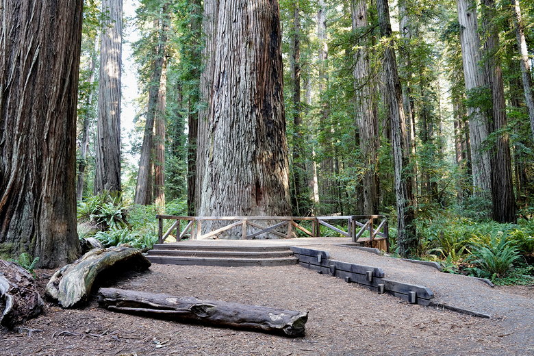
Stout Tree
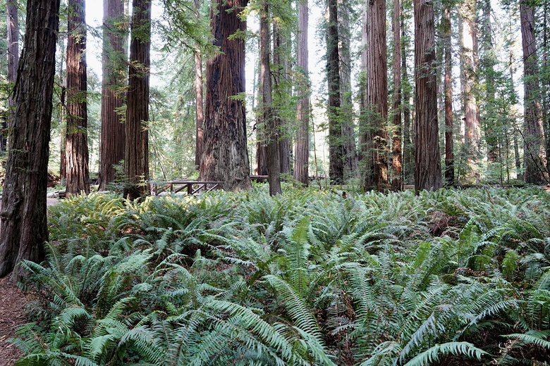
The afternoon sun sparkled through the trees. It's
typical redwood forest, with ferns covering the forest
floor. I followed a short spur trail through the
trees and emerged onto a gravel bar next to the Smith River.
I crossed a small portable footbridge (staying on this side
of the river) and enjoyed
some views of the river. In the summer, a bridge
crosses the Smith River to the Jedediah Smith
Campground.
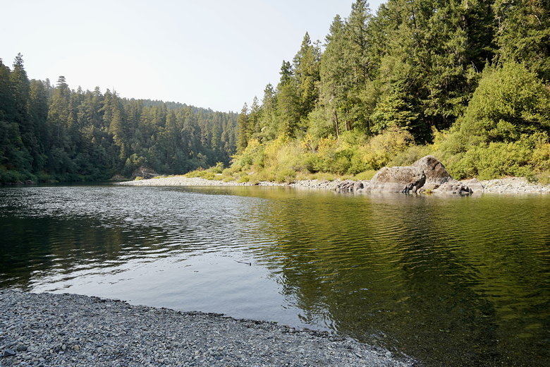
Smith River
I returned to the trail, then continued on the loop
trail as it goes next to a long downed tree. Soon
enough I came to another spur trail. I decided to
follow this one as well. There was no sign
indicating it, but I was on the River Trail,
which roughly parallels the Smith River for a half
mile.
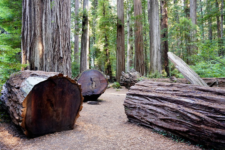
Downed and cut redwoods
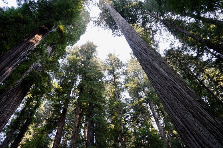
Looking up at the trees
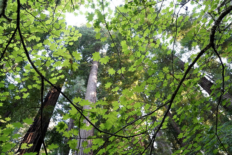
Redwoods through the leaves
There isn't much to the River Trail. Trees mostly
block views of the river. Eventually you can
see some houses on the other side of the river,
and then the trail ends at Howland Hill Road (the
road you drove on to get here). Across the road
is another trail that you can explore, but I just turned
around here and returned to the Stout Grove loop.
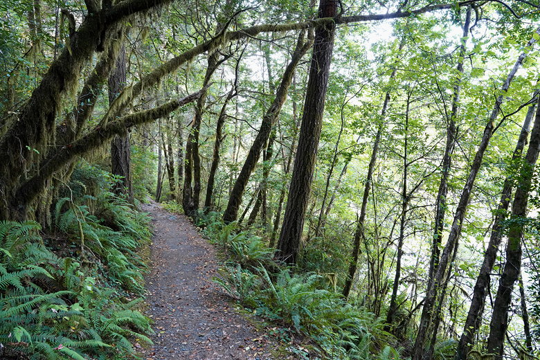
River Trail
I completed the loop, and headed back up to the
parking lot.
Looking up at the trees
| 

