|
I was looking for a Bay Area hike that wasn't too short or too long.
El Corte de Madera Creek Open Space Preserve provides a lot of options,
since there are so many different trails to choose from. In fact
we had already done hikes here in the past of 2 miles and 11 miles.
Today we'd be doing a 7 mile mostly loop hike. Although we'd hiked
here as recently as 2015, and some things felt awfully familiar, it wasn't
completely familiar.
It was a cold December late morning as we pulled into the parking lot on
Skyline Boulevard. Considering it was a clear weekend morning with rain
being forecast for days ahead, I was a bit worried the lot might be full, but I needn't have
worried. The cold probably deterred a lot of people. The lot may have been a third
full.
We started off on the Sierra Morena Trail and could
briefly look out toward the ocean to the west. After about 0.3 miles, we made a sharp
left onto the Oljon Trail. This leads downhill for about 0.6 miles; we'd be going mostly
downhill for the first half of the hike.
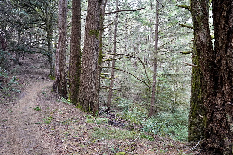
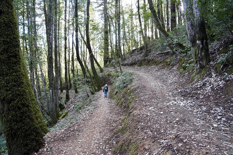
Forested trail
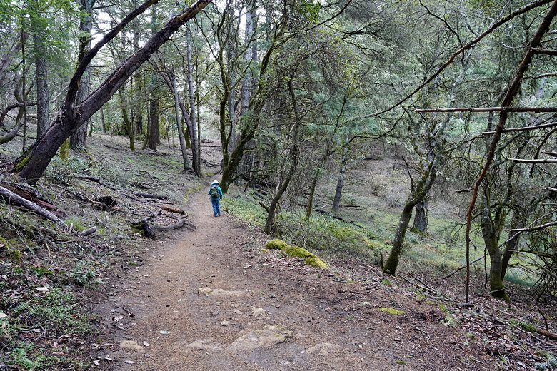
Further along the trail
Most of the trail is in forest with not much in the way of views. We next turned right
onto the Steam Donkey Trail. We followed the Steam Donkey Trail toward the Spring Board Trail,
then continued down the Gordon Mill Trail. Along the way, there wasn't a lot to see. A
couple banana slugs. More forest. The occasional mountain biker passed us. Some sections of
the trail are pretty steep.
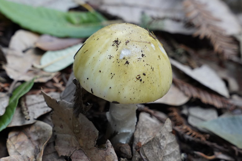
Mushroom next to the trail
At the intersection with the Lawrence Creek Trail (which we had taken back in 2015), we
continued straight onto the Timberview Trail. A little over a mile later (about 4 miles
into the hike), we stopped near the Old Growth Redwood tree to eat lunch. After lunch we
took the short side trail to the tree. If you're hoping to see a grove, you'll be disappointed.
It's pretty much just the one tree.
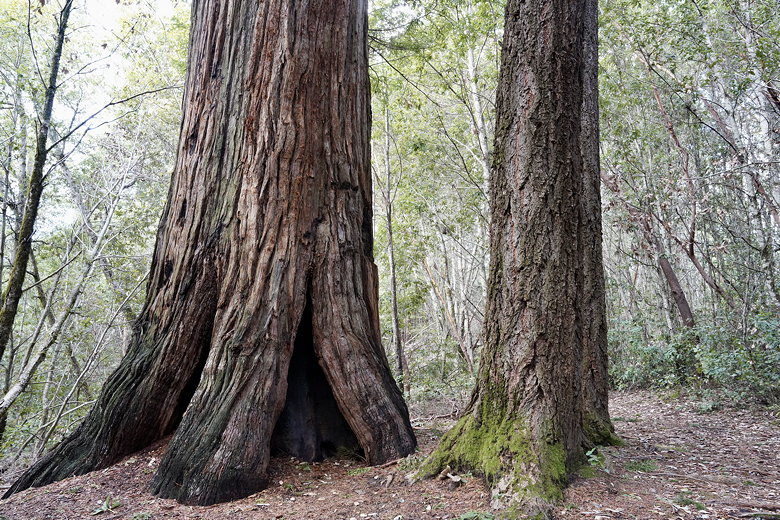
Old growth redwood
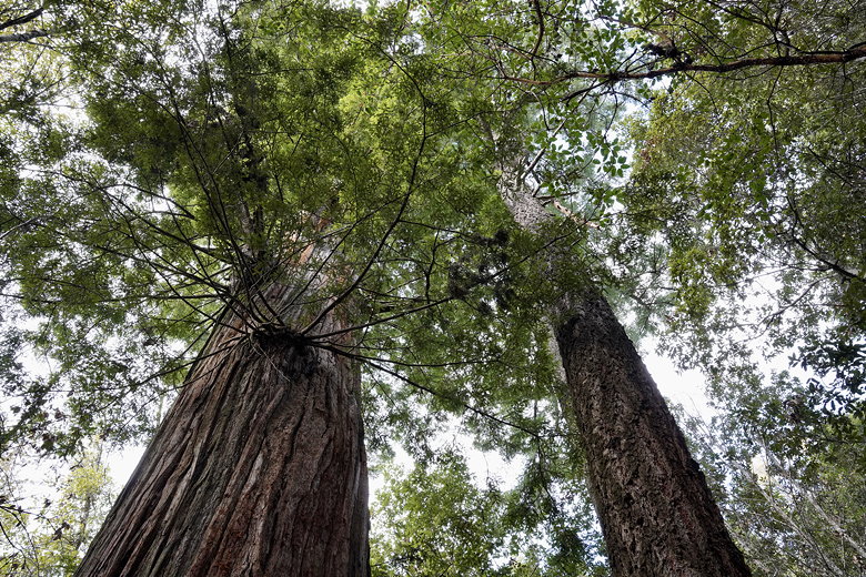
Looking up at the old growth redwood
After viewing the tree, we returned to the trail. We took the right fork onto the Crosscut
Trail. We followed the signs to head to the Skyline parking area, eventually continuing
up the Gordon Mill Trail. Soon enough we were back at the Sierra Morena / Oljon /
Gordon Mill intersection. We took the Sierra Morena Trail back to the parking lot.
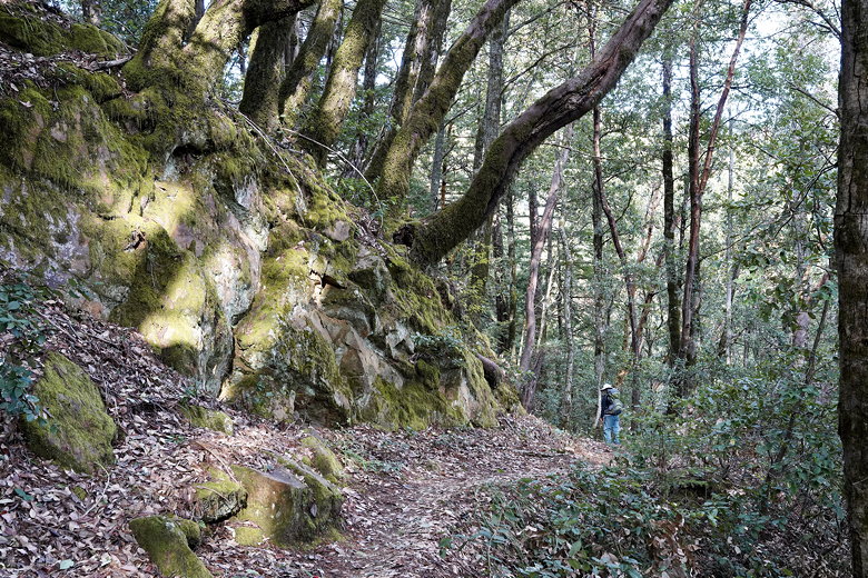
Mossy rocks next to the trail
Crossover to Crosscut trail
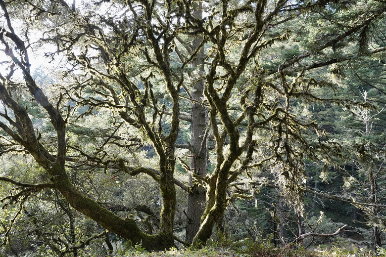
Tree next to the Gordon Mill Trail
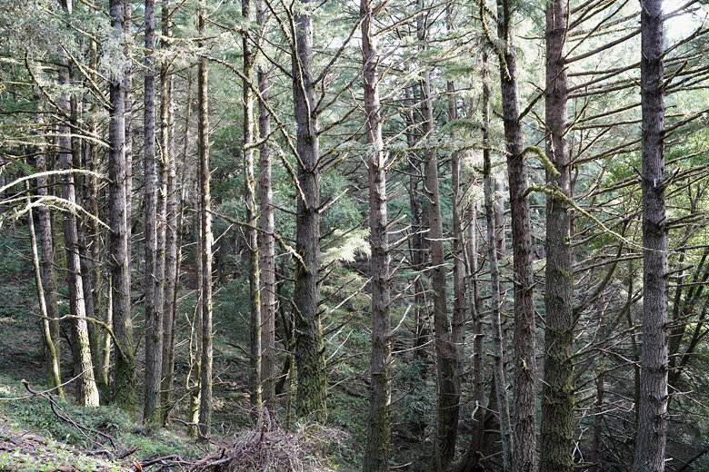
Trees next to the Gordon Mill Trail
| 

