|
We got a late start, heading over to South Lake to start a hike around 11am. By this time, the main parking lot was full, so we had to find a spot in the overflow area a short distance away. We noticed a huge temperature difference as we drove up…it was about 25 degrees cooler here compared to down near Swall Meadows and Bishop (where it was around 95 degrees already). We were definitely thankful for the cooler temperatures and the cloudy skies.
As soon as we started off on the trail, we immediately noticed that South Lake was much lower than we'd ever seen. Probably the result of years of drought conditions. We'd started at least 2 other hikes from here before (Long Lake and Treasure Lakes), and ended 3 of them (including the North Lake to South Lake backpacking trip). So we were pretty familiar with the start of the hike. But we were doing something slightly different this time.
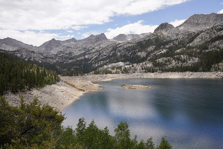
Sad-looking South Lake
Our goal was Chocolate Lakes, though I was hoping to convince my family to do a loop hike including Ruwau Lake. Somehow along the way I dropped my camera's lens hood. A good samaritan found me on the trail later and asked if I was missing it. He said he put it on a rock by the side of the trail. It was too late to go back now, but hopefully it'd still be there on the way back.
We came to a trail intersection and turned left to continue toward Bishop Pass (on a past trip we went to Treasure Lakes to the right instead). We ignored the trail to the left toward Marie Louise Lakes. Maybe some other time. Shortly after that we reached the intersection for Chocolate Lakes.
We turned left here and made the steep climb up to Bull Lake. As this was our first hike at altitude on this trip, we were a little slow and decided to just stop here for lunch. After lunch I went with Jared on the loop hike to Chocolate Lakes and Ruwau Lake while the others stayed and rested at Bull Lake.
Approaching Bull Lake
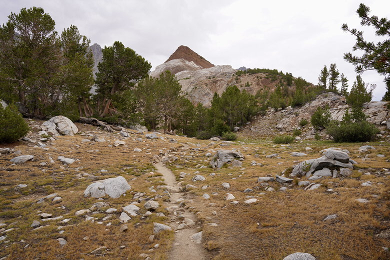
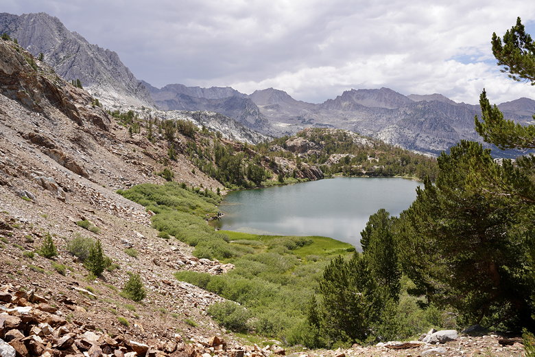
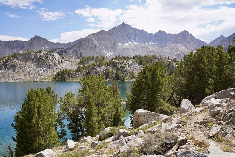
Cloudripper and Chocolate Peak over Bull Lake
Cloudripper and Chocolate Peak reflected in Bull Lake
The trail is a little hard to follow for a bit. This was the first time I was using AllTrails (on my phone) to help navigate, and it helped. But even so, we would lose the trail for a few seconds before finding it again. After going on along the shore of Bull Lake, the trail heads steeply uphill, eventually reaching the first Chocolate Lake.
Looking back down at Bull Lake
There were two people camping here (too close to the water, and on grass instead of dirt/rock). The trail led us directly to their campsites, so we had to backtrack and find the faint trail leading around the left side of the lake. It eventually led to the far edge of the lake, though it looked like there was another trail coming from the right side as well. That probably would have been easier. In any case, after some scrambling here we found ourselves on solid footing on flattish land past the lake.
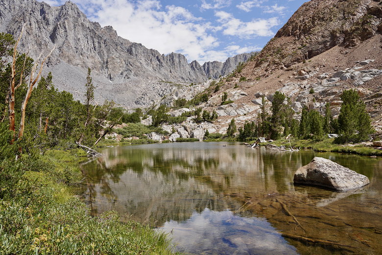
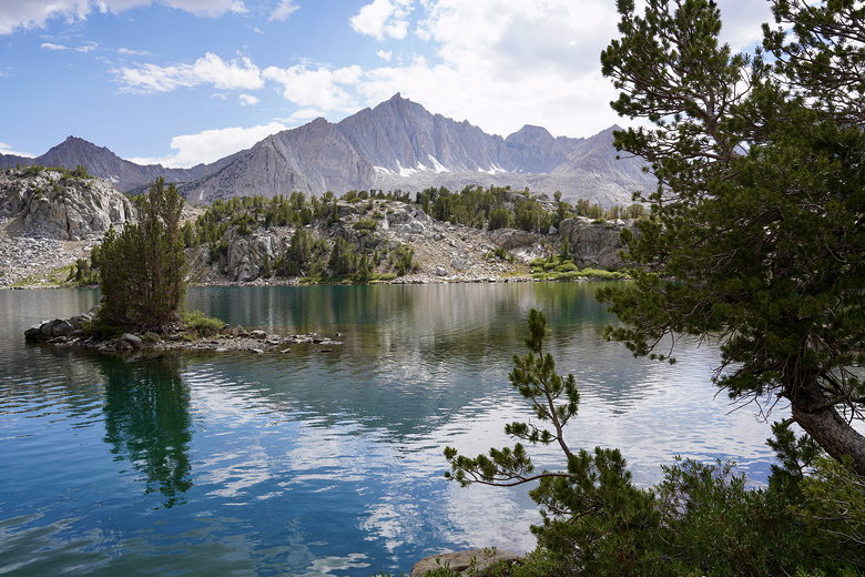
Cloudripper over First Chocolate Lake
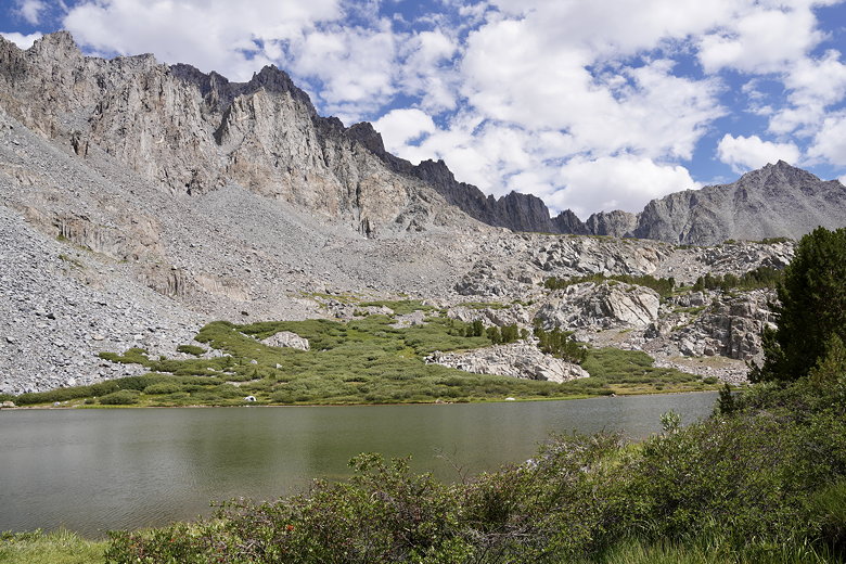
Next, we reached the second of the Chocolate Lakes. It was backed dramatically by steep mountains to the east. Soon after we reached the third Chocolate Lake. After walking along the western shore, the trail basically makes a beeline straight uphill toward the next lake. It's steep and rocky and the trail is hard to follow, but you know the general direction you need to go. Up and to the west.
Second Chocolate Lake
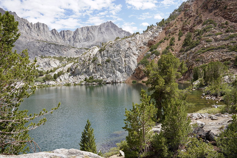
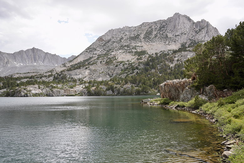
Third Chocolate Lake

Third Chocolate Lake
You probably won't see too many people out here. We saw the occasional day hiker. Eventually we made it to the top and could now see the lakes ahead below us. After a steep descent we reached Ruwau Lake. The trail then flattens as it follows the shoreline. We then radioed ahead to let the others know to head to the intersection to meet us.
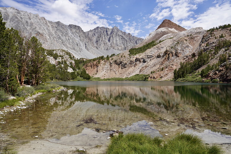
Descending to Ruwau Lake
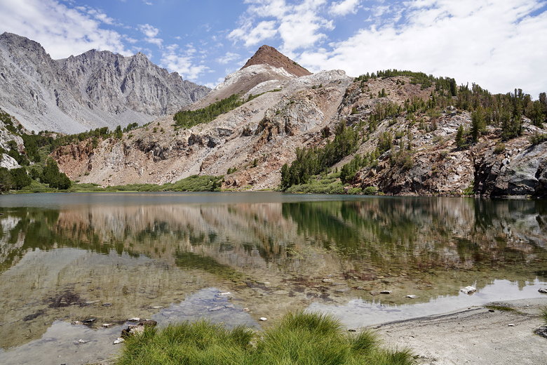
Mount Goode reflected in Ruwau Lake
Next we eventually saw Long Lake, which stretches for a long distance (of course) next to the trail. We'd visited Long Lake on a previous trip in October one year when the trail was covered in snow. Now we hiked alongside the lake again, though I'm sure Jared wouldn't remember since he was only 5 years old at the time.
Long Lake
Long Lake is one of the prettiest lakes here, but we didn't stop since we had to get back to the intersection. We met up with the rest of our group there, then enjoyed the easy 2 mile descent the rest of the way back to the trailhead in about 45-50 minutes. Thankfully, when we got there, we saw someone had placed my lens hood on top of the garbage container.
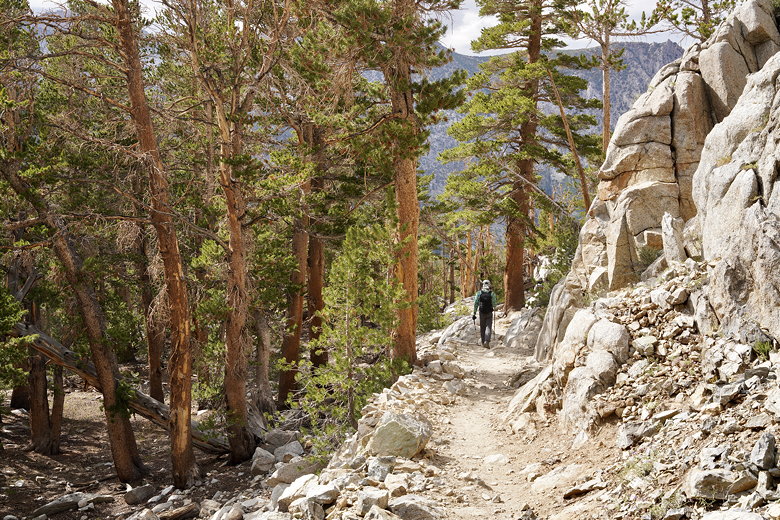
Descending back toward South Lake
| 

