|
Mount Umunhum is the fourth highest peak in the Santa Cruz mountains, but was closed
to public access for many years as it was a former Air Force station. It was cleaned up and new trails
and roads were opened in 2017, but I hadn't visited yet. I've biked on nearby Hicks
Road nearly 80 times, but always turned around when the road got steep.
I figured late fall would be a nice time to finally visit it. I passed 3 cyclists
as I approached the parking lot. They would pass me later on the trail (though
most cyclists avoid the trail and use the road instead).
The parking lot is big
enough for about 20 or so cars, and was about 70 percent full when I arrived around
10am on a Saturday. There are toilets here, but no water. There's no fee at the moment, either.
The parking lot is actually the trailhead for the Bald Mountain
Trail, a short easy trail on the eastern side of the road. I walked across the road
(which has very little traffic) to start the hike to the top of Mount Umunhum instead.
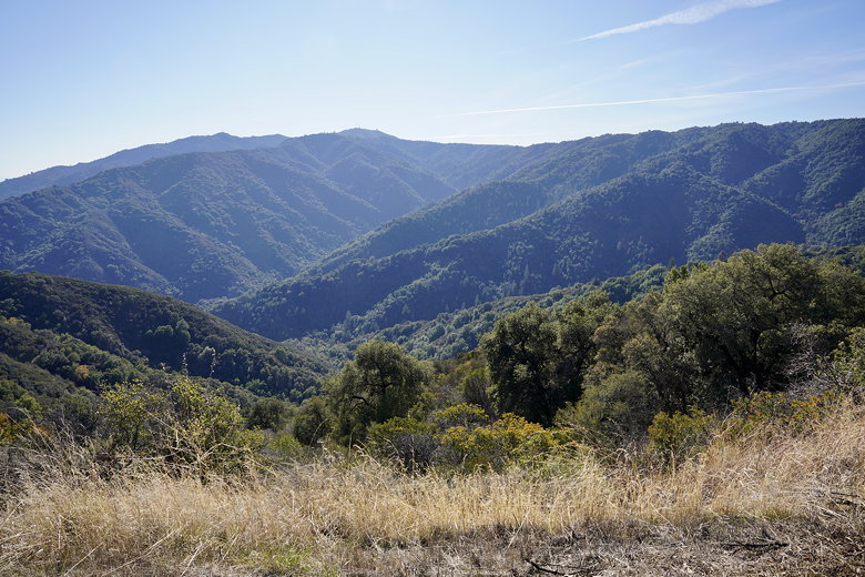
View from the parking lot
View of Bald Mountain from the parking lot
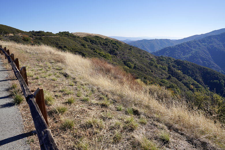
You can drive to nearly the top of the mountain, but what fun would that be? The
trail is in very good condition, and is an easy uphill stroll on good surface. It
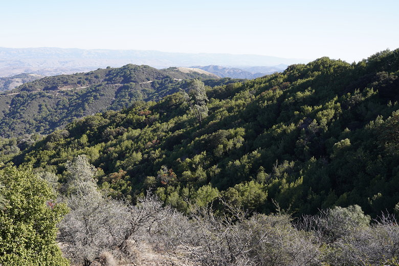
starts out nearly parallel to the road before veering away. The trail is mostly
shaded, though there are places that pop out of the forest and provide some nice views.
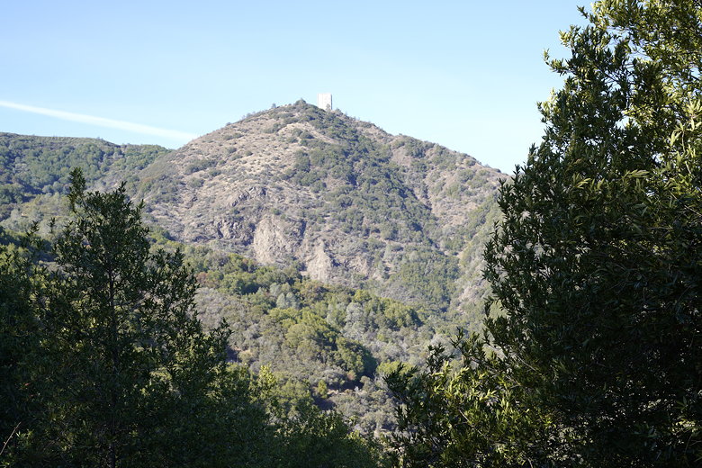
View of the radar tower at the top of Mount Umunhum
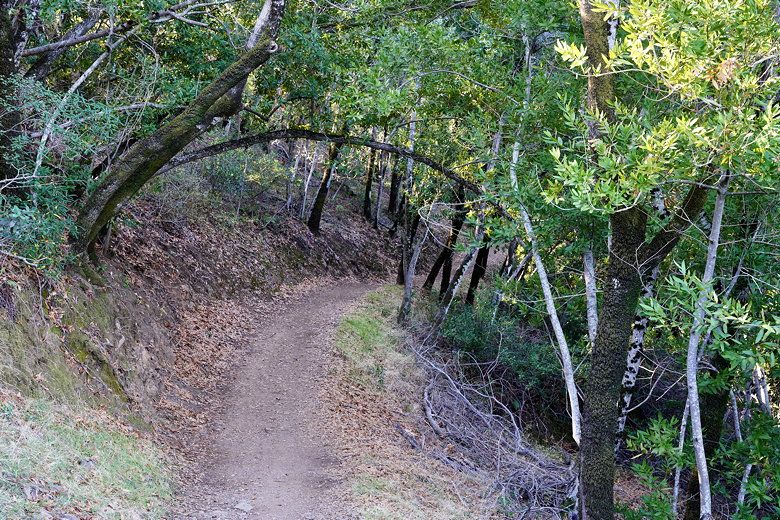
Entering the forest
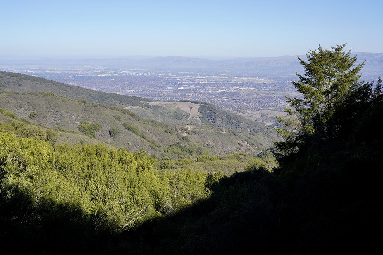
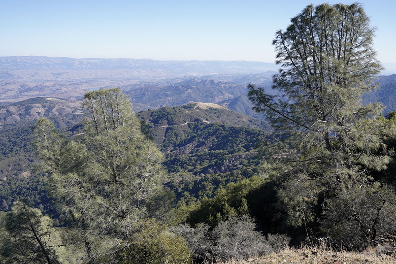
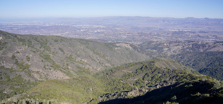
View of Santa Clara valley
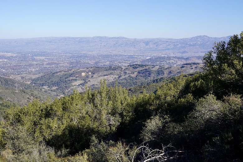
Another view of the valley
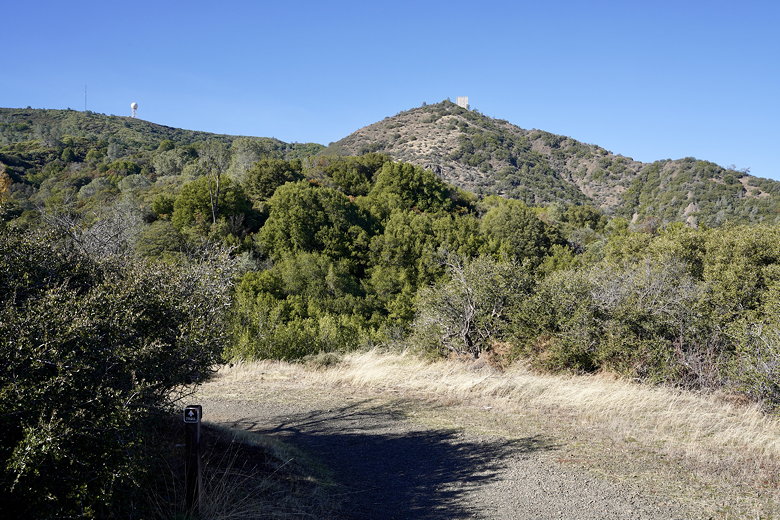
Looking up at the summit ridge
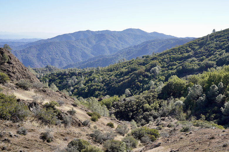
After about 1.5 miles, the trail reaches the Guadalupe Creek Overlook, slightly off
the trail but well worth the short detour. There's a great view of the radar tower
above (at the top of the mountain), and the Santa Clara valley below.
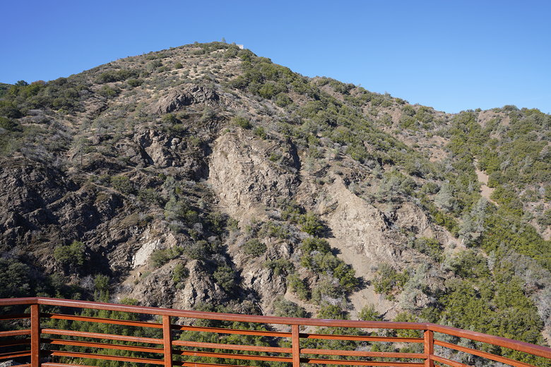
Radar tower from Guadalupe Creek Overlook
Bald Mountain from Guadalupe Creek Overlook
Near the top I saw a gate that said the area was temporarily closed, but it was
confusing since the gate wasn't actually completely closed. My guess is that
when it actually is closed (perhaps due to rain/mud), they'll close the gate
completely. In any case, I took a slight detour to the nearby picnic tables
before deciding it was too cold and shaded there to eat. I then entered the gate
and finished the rest of the climb, which culminates in a short staircase up to the
top.
View from near the top
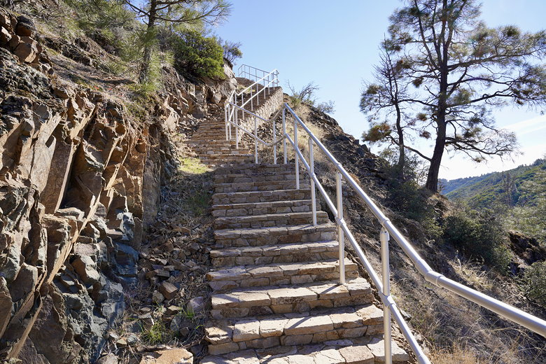
Staircase to the top
View from the top

View of Santa Clara valley
Bald Mountain
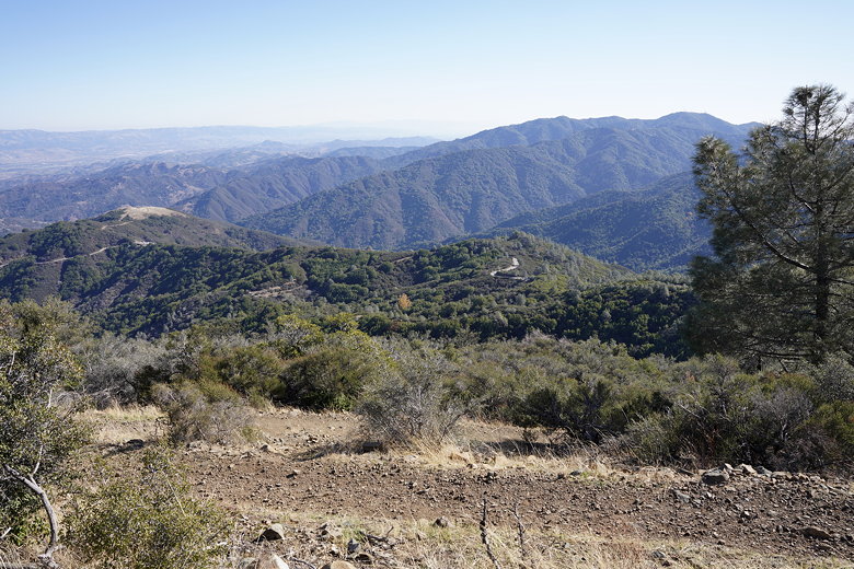
The views from the top are fantastic, providing probably the best views of the South
Bay that I know of. The old radar tower looms above, but it's easy enough to walk
around to get all the great views. There are benches in several places near the tower
and beyond where you can sit and rest.
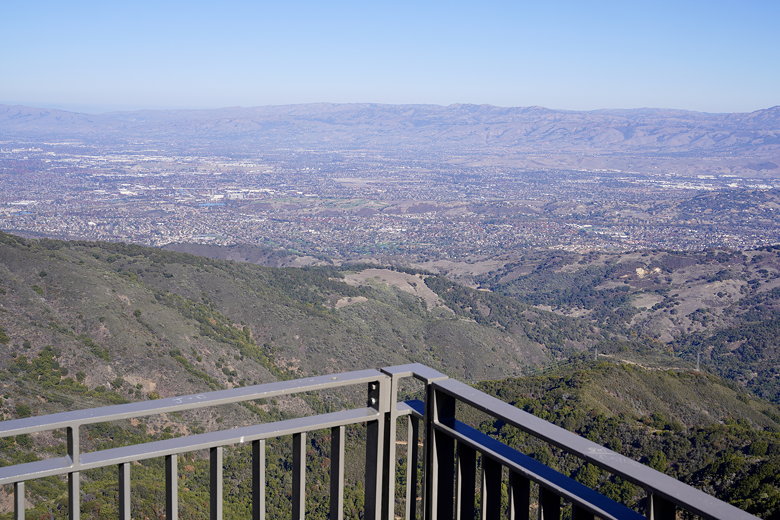
View of Santa Clara valley from an observation platform
Another view of the valley
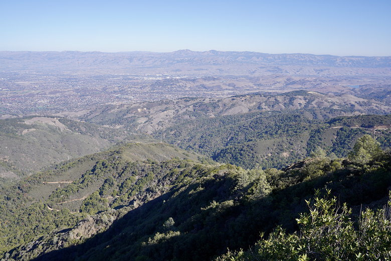
Another view of the valley
A large group of cyclists were here, congregating before the descent. I walked past
them and past a ceremonial circle, finding a bench with a great view to enjoy while
eating my lunch. After lunch, I could have walked down a long staircase to the parking
lot (there's no parking lot at the very top), and then rejoined the trail further down.
This would have resulted in a slightly shorter hike, but I decided to just retrace my
steps since I'd be able to see the better views along the way.
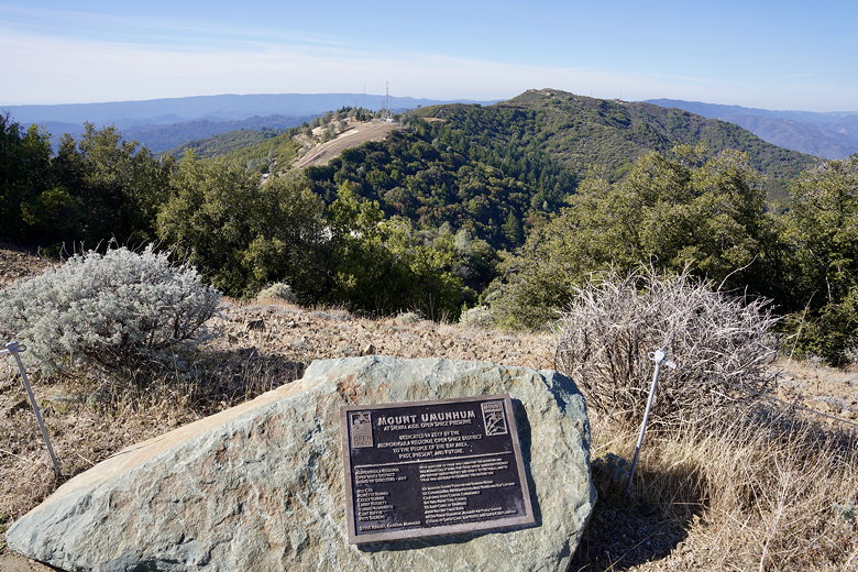
Mount Umunhum plaque
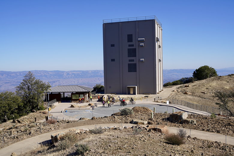
Radar tower
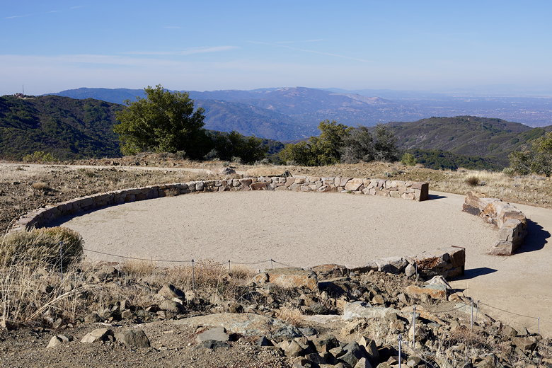
Ceremonial circle
The return trip to the trailhead was easy and fast - a gentle downhill of just under
4 miles.
| 

