|
The Mindego Hill portion of Russian Ridge Open Space Preserve opened in 2016.
I'd visited Borel Hill in the park back in 1999, well before that. I figured we
could visit both this time, after letting the landscape dry out a bit after
weeks of historic rain.
We arrived at 9am, thinking the parking lot might get full later, but there were
only 2 other cars in the lot (which has 20 spaces). It was cool but clear.
One of my friends texted me to say he'd be late and to start without him.
So we started off on the Mindego Trail, which very quickly descends steeply on a wide
dirt/gravel road.
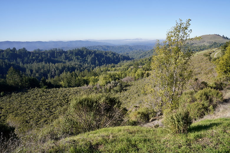
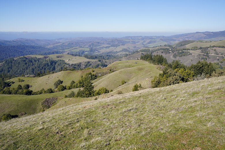
View on the descent
There aren't many views here, but after leveling off, the trail provides some views
of Mindego Hill in the distance. We passed several cattle gates, kept to the left
and then started the climb up to the top. There were some small muddy spots here
and there, but for the most part the trail was dry. To the right we could see Mindego
Lake below.
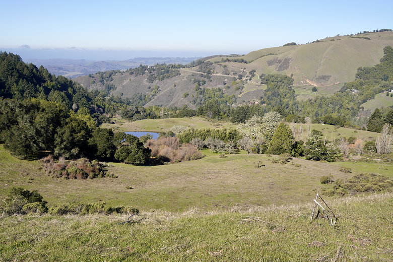
Mindego Lake
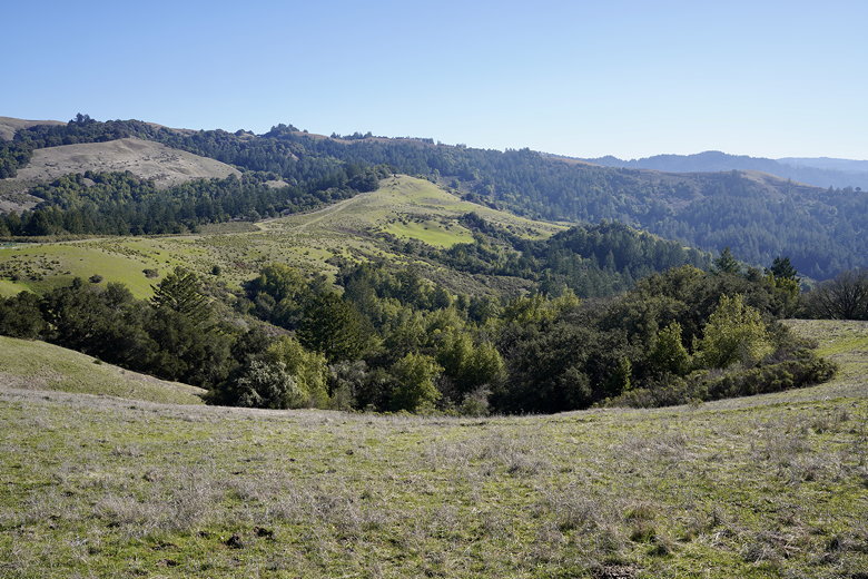
As we got close to the top, we could see cattle on the slopes to the left/west. The wide
flat summit provided nice views of the surrounding hills. We stopped here for a short
snack break before turning around and heading back.
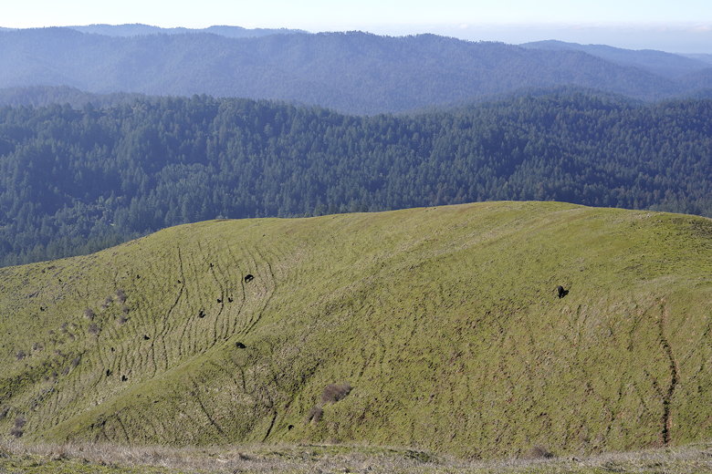
Cattle on Mindego Hill
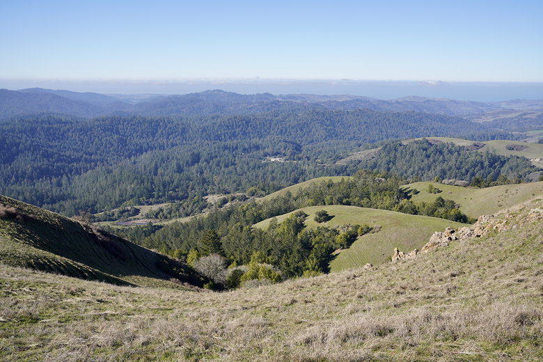
View from Mindego Hill summit
View from Mindego Hill summit
On the way back, we ran into our friend who had finally caught up to us. He had ended up
parking in the lot near Alpine and Skyline. At least we could continue the hike together
from here. Instead of returning exactly the way we came (which would be about 4.8 miles
in total), we turned left onto the Charquin Trail to head toward Borel Hill.
Looking back on the trail from the descent of Mindego Hill
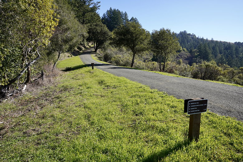
Charquin Trail intersection
The trail descends into the thick forest, but then quickly starts climbing steeply.
From here it's mostly forested trail for a long time, with several very muddy patches.
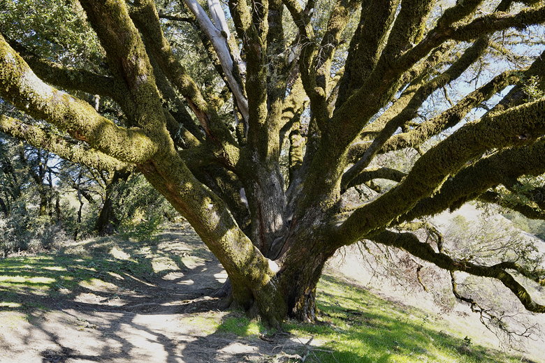
After staying on the Charquin Trail for a while, we made a sharp right onto the Ancient Oaks
Trail, following it for about a half mile before reaching the next intersection.
This looked like a nice place for a break, so we stopped here next to the trees.
While we were here, we finally saw a lone raptor nearby. The sun was still shining and
the skies looked clear. But that wouldn't last.
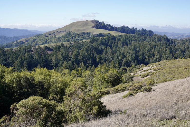
View of Mindego Hill from the Charquin Trail
Tree on the Charquin Trail
After our break, we turned left onto the Bo Gimbal Trail. This is only about 0.3 miles to
Borel Hill. But somehow, by the time we neared the top, the fog rolled in with a
vengeance. The wind picked up, the mist surrounded us, and the temperature must have
dropped at least 15-20 degrees. It was like this when we reached the Borel Hill sign,
where there were no views to speak of. Usually you'd be able to see San Francisco Bay
from here, but not now.
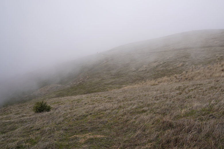
The fog rolls in
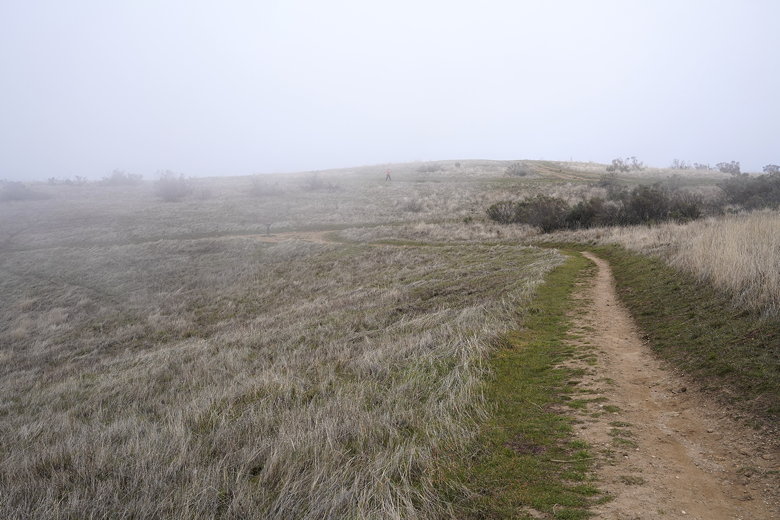
Foggy trail to Borel Hill
We turned right onto the Ridge Trail, then right again to head to the parking lot.
Around this time, the fog began to lift pretty rapidly. We followed the Ancient Oaks
trail through the forest back to the now nearly-full parking lot. Then we dropped our
friend off at the other parking lot on the way back. All in all, a decent
hike despite the fog obscuring the view. This hike is probably best done in the spring, when
the hills are a bit greener and there are wildflowers.
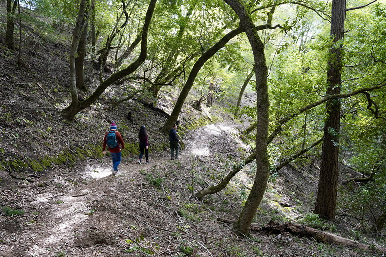
Ancient Oaks Trail
| 

