|
The parking lot was already almost full at around 9:30am. Perhaps that was
partly due to the fact that this was one of the few sunny weekends after an
historic winter full of rain.
This is a loop hike so it can be done in either direction. We decided to
do it counter-clockwise, starting on the Merry Go Round Trail.
A few steps into the trail, there's an interpretive
display with a large map. There weren't any paper maps left. There were also
some portable toilets here.
The trail starts climbing immediately, mostly in forest. After a fair bit of
climbing, the trail did emerge from the forest for a while. The views weren't
anything special, though - some views of other forested hills. And soon enough,
the trail enters the forest again.
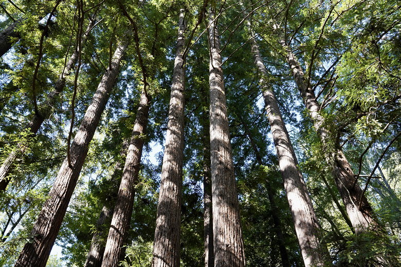
Trees next to the trail
The trail had been in decent shape up until now, but then we reached a section
where downed trees from the winter storms covered the trail. We carefully
made our way over and through the trees. Soon we reached one of the campground
roads. We stayed on the trail next to the road before crossing the road and
finding a shaded picnic table to have lunch.
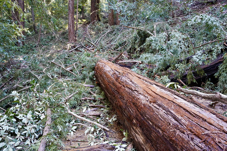
Downed tree covering the trail
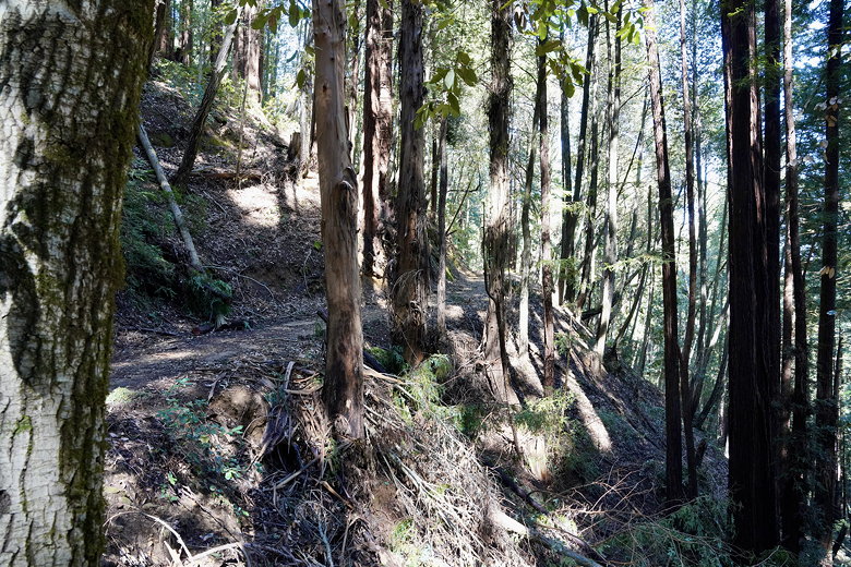
Trail through the forest
After lunch we continued on the trails meandering past the group campgrounds, following
the path from the AllTrails map on my phone. After crossing a stream, we found
our path blocked by more downed trees. This was more difficult to get around, but
we eventually went under the branches and made it through. When we finally made
it to the end of this trail at a parking area, we saw signs saying the trail we
were just on was closed. Oh well. They had neglected to put up a sign on the
other side of the trail.
We crossed the road and picked up the trail on the other side. The trail now skirts
the edge of the Valley View campgrounds (though there really isn't any view). Then
the Sprig Trail continues steeply downhill, past lots of banana slugs, back to the
parking area.
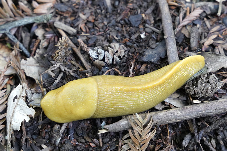
Banana slug
| 

