|
I've biked on the Sawyer Camp Trail many times, but never hiked the full length.
It's a multi-use trail, popular with cyclists, joggers, and families. Expect to
share the trail with a lot of people, but also expect the foot traffic to thin out
after the first mile or so.
The trail is about 6 miles in length, paved the entire way. You can start at either
end, and do an out-and-back of any length. We decided to do a one-way hike with a
shuttle. We drove to the northern end of the trail (near the Hillcrest Blvd
intersection with Skyline Blvd). After parking one car under the freeway overpass here,
we drove the other car to the southern end of the trail.
As expected, the parking area at the southern end was overflowing, but there is ample space
to park along the side of the road, requiring a bit of an extra hike. It's not too bad.
We walked downhill and turned right to start the hike proper. There's a bathroom here if
you need it.
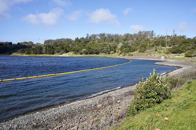
The start of the hike has nice views of Lower Crystal Springs Reservoir below. Water from
Yosemite, nearly 200 miles to the east, flows into the reservoir via the Hetch Hetchy
aqueduct. If you have time and haven't visited it yet, I'd recommend also visiting the
Pulgas Water Temple to the south, only a 10 minute drive away. The temple represents the
end of the aqueduct, and is a pretty spot with a reflecting pool and large grassy areas.
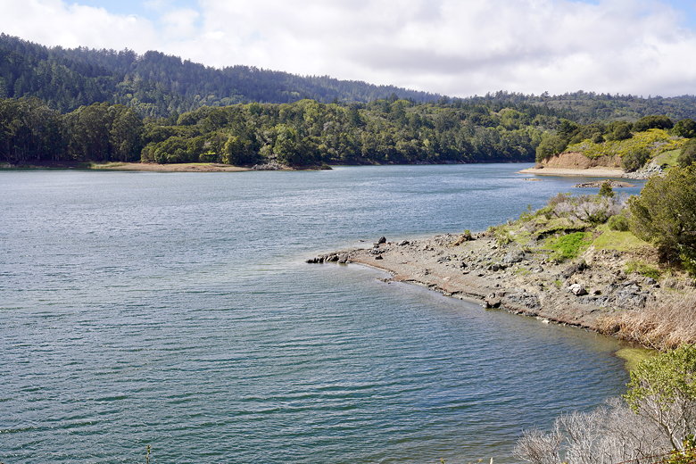
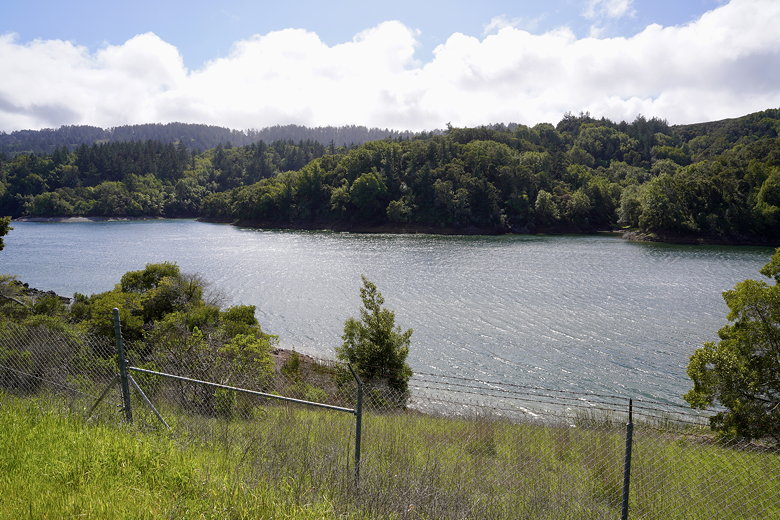
Lower Crystal Springs Reservoir
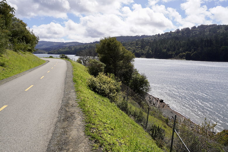
Path next to Lower Crystal Springs Reservoir
After enjoying some of the views of the reservoir, we continued along the trail, which
heads north mostly hugging the shore of the reservoir below. There are mileage signposts
every half mile so you'll know how far you've gone. As if on cue, we noticed the crowds
thin out after a mile (one set of walkers immediately turned around at the 1.0 mile
signpost). So, yes, it's a crowded multi-use trail, but it won't feel that crowded for
most of it.
Lower Crystal Springs Reservoir
After about 3.5 miles there's another bathroom near the Jepson Laurel tree. While it's
apparently over 600 years old, I must admit I don't find it much of a photographic
subject. The forest on either side of the upcoming trail segment, however, is one
of the prettier sections of the trail. This is even nicer in the fall.
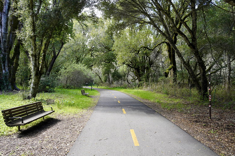
Path near the Jepson Laurel tree
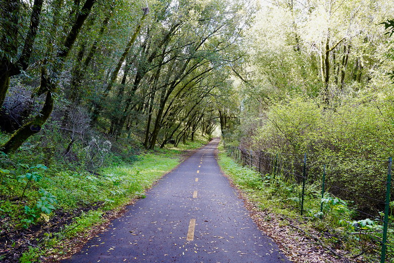
Path north of the Jepson Laurel tree
The trail starts to climb now, eventually popping out on top of the dam at the end of
San Andreas Lake. It was very windy when we got here around 4pm, so we scurried across and
continued climbing on the other side of the lake. We started hearing the cars on Interstate
280 to our right as we crested the climb and then descended to the end of the trail and
to our waiting car.
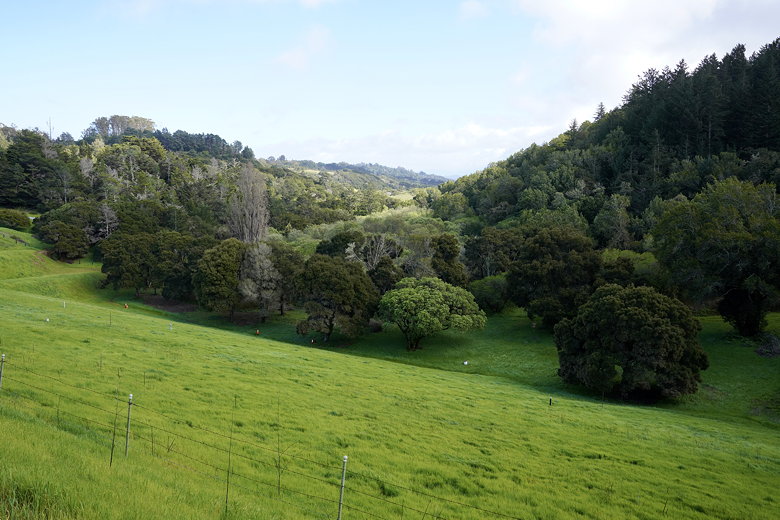
View from the top of the San Andreas Lake dam
San Andreas Lake
| 

