|
Nancy and I drove up Oneidas Street toward Fountain Place to begin
our hike. The road is paved, newly re-paved in places, but still
has a lot of potholes. We encountered no one except a pickup truck
inexplicably parked in the middle of the narrow one-lane road.
Its driver seemed to wake up and subsequently moved to the side
to let us pass. At the end of the road is a gate and the trailhead
for Armstrong Pass.
It was still very cold (perhaps 30 degrees) by the time we started
our hike at 7:42am. I donned my balaclava, hat, gloves, long sleeve
shirt, heavy fleece, and rain jacket. Nancy had two layers of
fleece and a jacket on, and still seemed to be cold.
The trail immediately forks -- an easier but longer way to the
right (for horses and mountain bikes), and a more interesting
path to the left. We of course took the left path, which involved
crossing Trout Creek via a 20-foot log (not even leveled off).
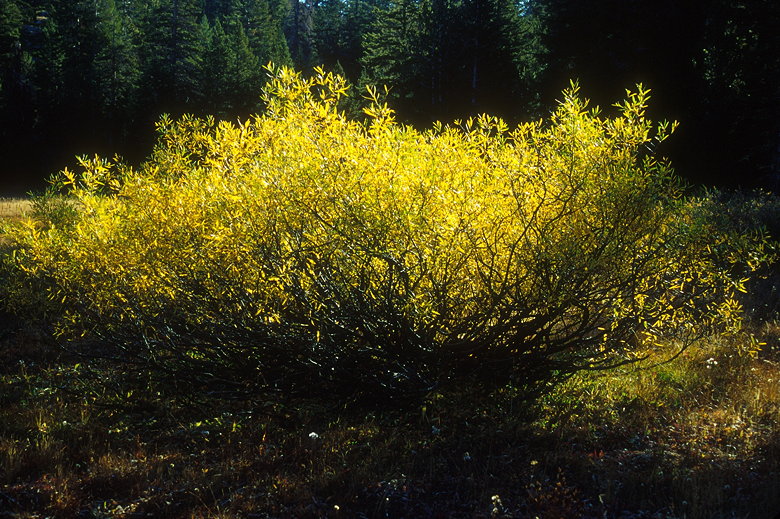
A bush showing off some fall colors
The trail then begins ascending about 1000 feet to Armstrong Pass.
Along the way we passed through a quiet forest along a very sandy
trail. In it were signs of mountain bikes (which are allowed along
the entire trail), hikers, and the occasional horse. We saw the
signs, but we didn't actually see anyone for quite some time.
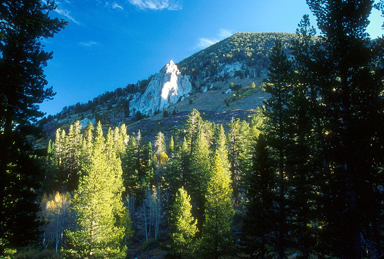
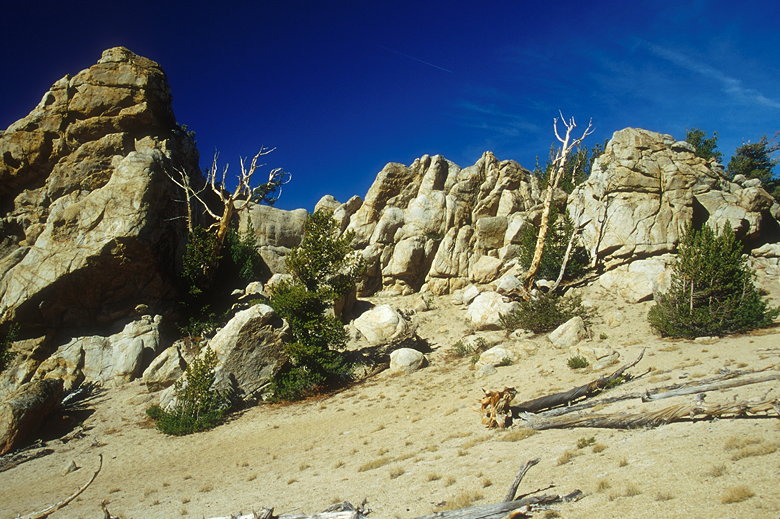
Our path would loop around and up to the rock formation
Unfortunately, the trail doesn't just ascend -- the "ascent" includes
about 150-200 feet of descending. But we slowly made progress.
We crossed several small creeks bordered by ground frost. We passed
a meadow on the left and the occasional yellowing aspen. Resting
in the path of an old rockfall, we had a great view of a large
rock formation halfway up the mountain to the north. Looked like
great rock climbing.
As we climbed and went further east, the rock formation disappeared
around the corner. Then we found ourselves at Armstrong Pass,
a sign pointing the way along the Tahoe Rim Trail (TRT). There's
not much of a view at Armstrong Pass -- mainly just trees. We
turned left and headed northwest along the TRT.
Nancy preparing to ski (er, snowboard?) down Armstrong Pass
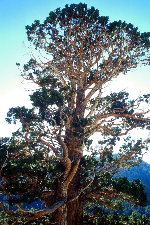
The TRT passes through a scattering of beautiful juniper trees.
Then we hiked right next to the large rock formation that we'd
seen from afar earlier. The trail remains nearly level for quite
some time before ascending another 1000 feet. It does so with
a series of 3 or 4 long switchbacks of moderate grade. Along the
way are higher and higher views of the peaks of the Desolation
Wilderness to the west.
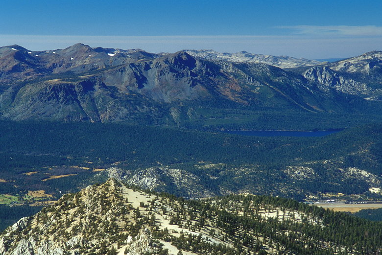
At the top of the switchbacks is a saddle. From the saddle is
a view of part of Lake Tahoe itself, visible for the first time
during the hike. The TRT continues northwest past the saddle.
Our goal, however, was Freel Peak, now clearly visible to the
southeast. The Freel massif rises up another 1200 feet from the
saddle, showing a saddle of its own. The peak itself (along with
a microwave station) lies to the left of the saddle.
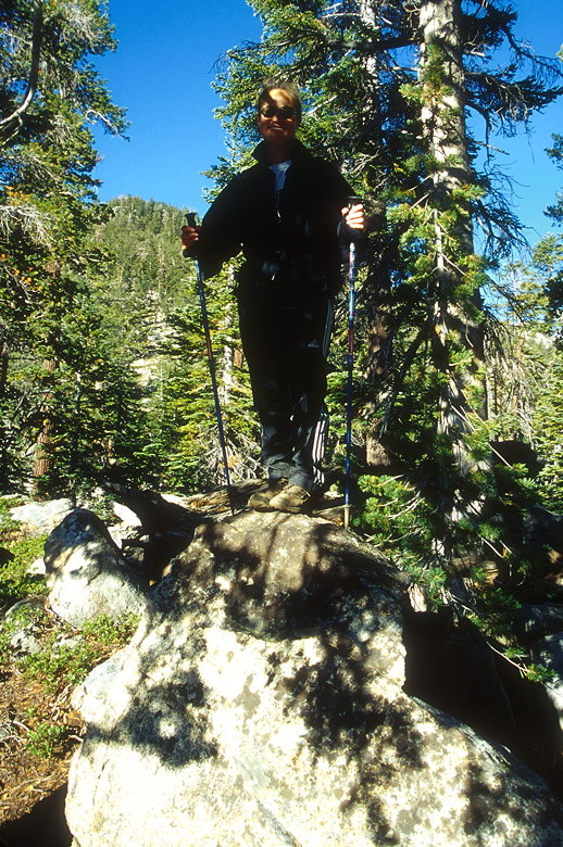
Nancy's playground
Before tackling the final ascent, we enjoyed the foxtail pines
(I think) and Nancy's playground -- a wide assortment of rocks
which scream "climb on!" She free-soloed to the top of the nearest
rocks while I photographed the action. We spent quite a bit of
time here. By the time she down-climbed and we started hiking
again, probably an hour or more had passed.
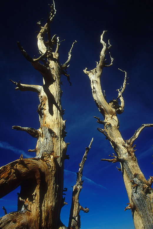
Foxtail pines reaching for the sky
We struck off cross-country through the trees. There's no official
trail here, though there are definitely footprints in the sand
and rock cairns prevalent. The main goal is simple, though --
get through the trees, then traverse a rocky slope to the top.
How exactly you get through the trees is mostly a personal matter.
It's not too difficult hiking, though it is quite sandy in places
and requires carefully walking over and under tree limbs.
After a half hour we were through. All that lay between us and
the summit was a large rocky bowl. No more trees. Just a few knee-
and ankle-high shrubs and a lot of rocks and dirt. As we climbed,
I noticed two other hikers entering the bushes we had just finished.
These were the first people we'd seen all day. I now expected
we'd share the summit with them.
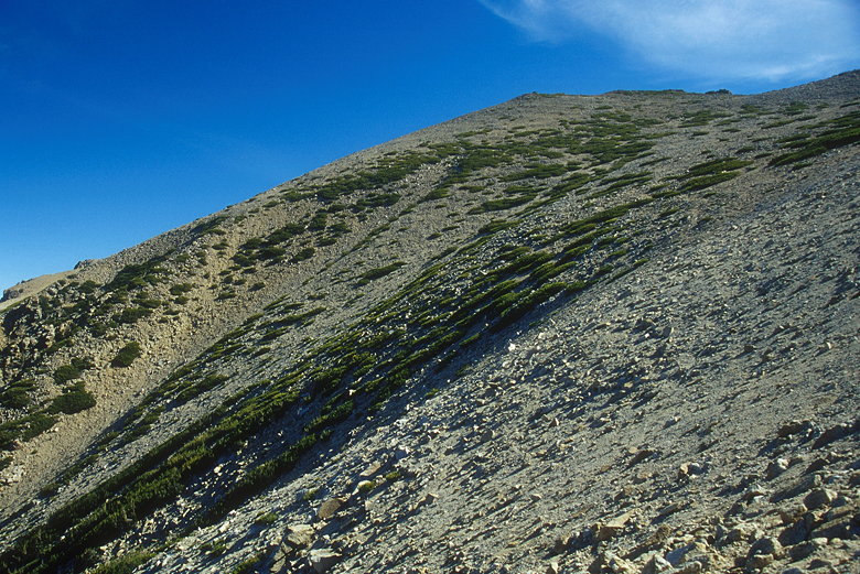
West slope of Freel Peak (top, center)
We were now over 10,000 feet high, and the thin air began to take
its toll. We slowly made our way up, stopping every once in a
while to drink and to take in the ever-increasing views. The higher
we got, the larger the lake appeared, and the more incentive we
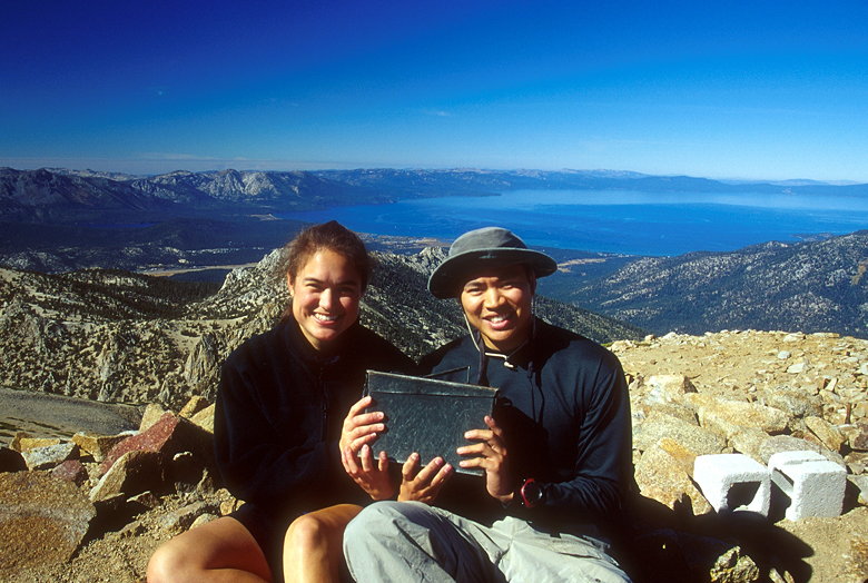
had for reaching the microwave station and the summit.
A little over an hour after we left the saddle, we reached the
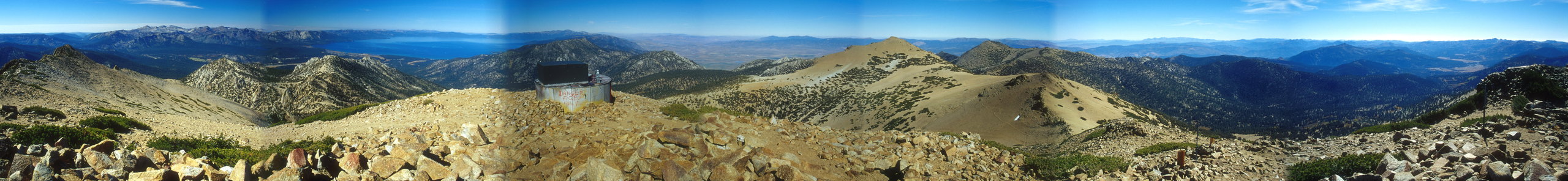
summit. The view is amazing. During the entire hike to the summit,
at least 180 degrees of the view is hidden by the mountain. But
now that we were at 10,881 feet, the highest point in El Dorado
county, everything was laid out before our eyes. To the northwest,
all of Lake Tahoe -- a better view of the lake itself than from
Mt. Tallac. To the west, the Desolation Wilderness including Mt.
Tallac and Pyramid Peak. To the southwest, Round Top. To the south,
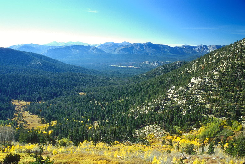
Hope Valley and its many yellow aspens was clearly visible. To
the northeast, Jobs Sister, just a few feet shorter than Freel
Peak. Beyond Jobs Sister lay the Carson Valley and a hint of Washoe
Lake. The view is absolutely one of the best peak views I've experienced.
The only negative is the glaringly out of place microwave station
-- a 40 foot wide, 10 foot tall metal cylinder adorned by graffiti,
topped by a giant rust-colored rectangular thing.
|