Hikes of distance 9.0 - 9.9 miles |
Hike Miles Vertical Time 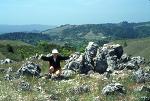
[Rancho San Antonio Open Space Preserve]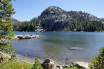
[Desolation Wilderness]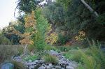
[Henry W. Coe State Park]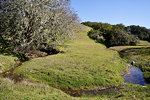
[Pleasanton Ridge Regional Park]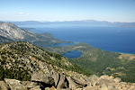
[Desolation Wilderness]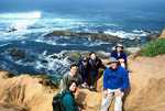
[Point Reyes National Seashore]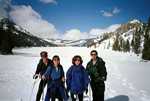
[Eldorado National Forest]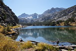
[John Muir Wilderness]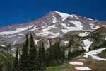
[Mount Rainier National Park]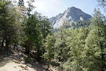
[San Jacinto Wilderness
]
[Mount Tamalpais State Park]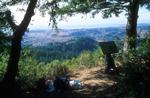
[Big Basin State Park]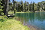
[Kaiser Wilderness]
[Point Reyes National Sea Shore]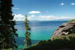
[D.L. Bliss State Park and Emerald Bay State Park]
[Sequoia National Park]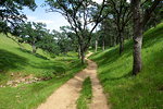
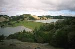
[Round Valley Regional Preserve]


|

|