|
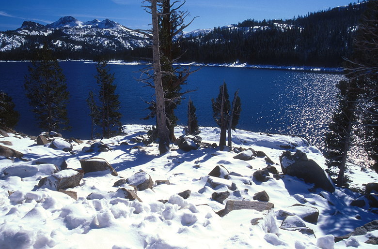
I drove up from the Bay Area, taking Highway 88 toward Kirkwood
ski resort. Before I got there I stopped at a vista point turnout
at about 7000 feet elevation. Icicles hung from the rock on the
opposite side of the freeway. Before me lay a great view of snow-covered
mountains, a large lake nestled among them to the southeast.
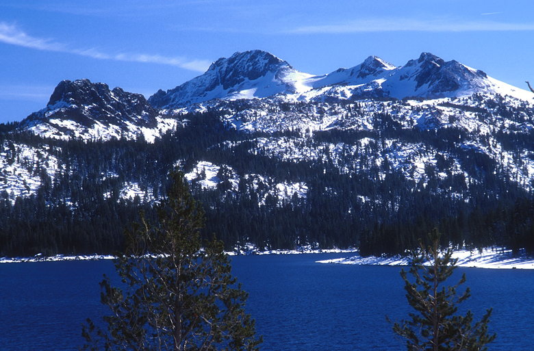
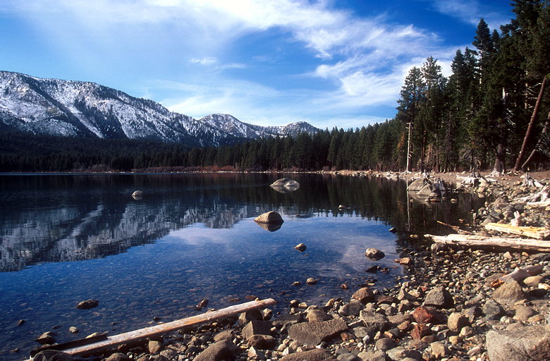
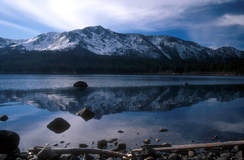
Round Top over Caples Lake
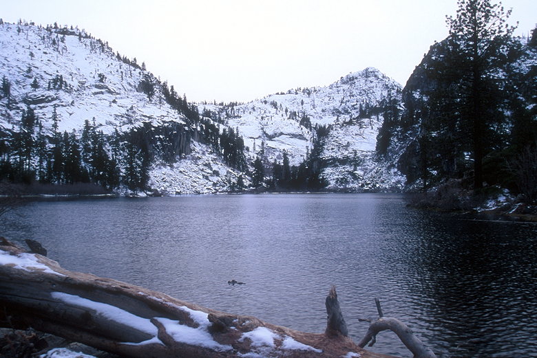
Continuing along Highway 88, I stopped at a turnout next to Caples
Lake to take some pictures of it and Round Top looming to the
southeast. Cars whizzed by me as I set up my tripod in the chilly
late morning.
Caples Lake
I continued my journey, trying not to lose control as I drove
over a few isolated ice patches on the road. I soon passed the
Kit Carson Pass overlook that I'd meant to stop at. Oh well. I
kept going, past the Highway 89 intersection to a store I'd stopped
at on my last trip. I'd taken some nice fall color pictures there.
This time, I walked down, slipping on the ice just once, and photographed
a completely different scene.
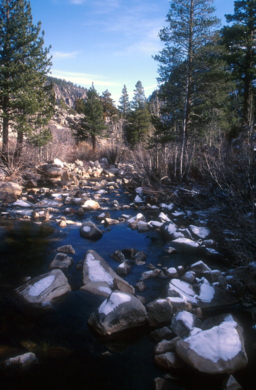
Creek at Kit Carson campground
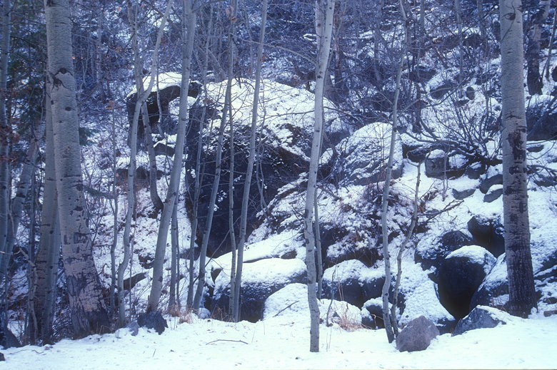
Aspens in winter in Kit Carson campground
Afterwards, I headed back up Highway 88 and made a right onto
Highway 89 toward Lake Tahoe. The golden aspens of just a month
ago were now completely devoid of leaves. I went up and over Luther
Pass and kept on going, not stopping until I reached the Fallen
Leaf Lake trail. I'd meant to stop at Kiva Beach to take some
pictures of Mt. Tallac, but the parking lot was closed for the
winter.
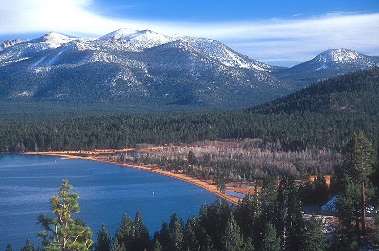
North shore of Fallen Leaf Lake
The Fallen Leaf Lake trail was mostly devoid of snow, save a few
small patches here and there. The reason I wanted to go on the
trail was to go to the lake shore and get a view of Mt. Tallac.
It did not disappoint. The mid-afternoon sun was at just the right
angle such that I found the shimmering reflection of Mt. Tallac
in Fallen Leaf Lake's waters. Meanwhile, Stanfurd camp on the
opposite shore spewed campfire smoke into the pristine air.
Mount Tallac reflecting off Fallen Leaf Lake
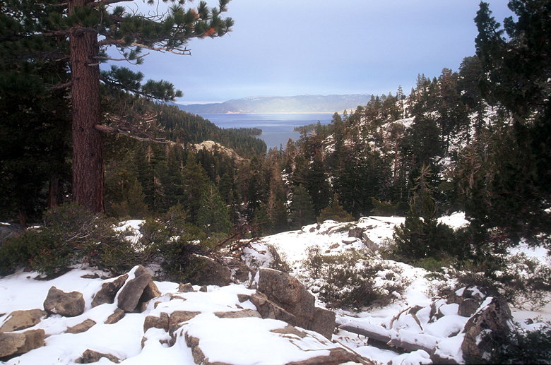
I stopped briefly at a pullout near the ridge between Cascade
Lake and Emerald Bay. I was hoping to get some good views of Lake
Tahoe, but was somewhat disappointed.
View from the turnout between Cascade Lake and Emerald Bay
I continued on to another vista point parking area -- this one
with a somewhat disappointing view of Fannette Island in Emerald
Bay. After a quick stop amongst the tourists, I went a mile down
the road to the parking area for Eagle Falls/Eagle Lake. I'd done
the hike to Eagle Lake months earlier. But now snow was everywhere.
Knowing it was only a 2 mile hike, I didn't take my trekking poles.
This was a mistake.
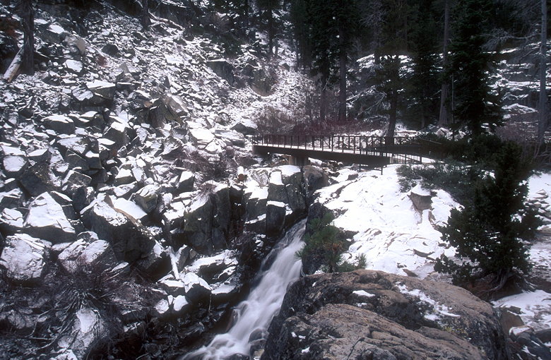
Eagle Falls
As I walked down to the main parking area, I realized my mistake
as I slipped on a patch of ice and fell to the ground. But did
I learn? No, I kept going, not bothering to go back to my car
to fetch my poles. Instead I gingerly hiked among the snow and
ice, trying not to fall. I ended up using my tripod as a trekking
pole at times.
Eagle Lake
The scenery was beautiful. Much different than when I'd gone before.
Clouds shielded the sun much of the time I hiked, providing a
winter-like feeling. The best scenery was around the falls, whereas
before the snow it'd been relatively uninteresting. This time
the lake itself wasn't that impressive -- perhaps because the
sun didn't peek out from behind the clouds until a few minutes
after I'd left the lake.
Emerald Bay and Lake Tahoe lit by a sliver of sunshine
After dinner I watched the Raiders suffer a heartbreaking loss
to the Broncos, while I worked on my plan of attack for the next
day.
| 

