|
As we prepped in the morning, a man walked by and recognized us.
I had taken a picture of him and his companion at the Muir Hut.
I didn't immediately recognize him, I think because he had
several days more facial hair growth. Still, it was nice to
see him. One of the neat things about doing a
long trip like this is seeing people you met earlier in the trip.
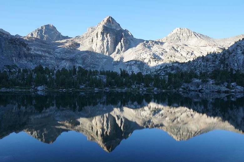
Painted Lady reflecting in middle Rae Lake
Painted Lady reflecting in middle Rae Lake
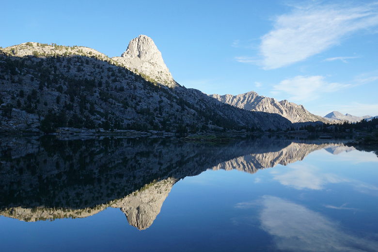
Fin Dome reflecting in middle Rae Lake
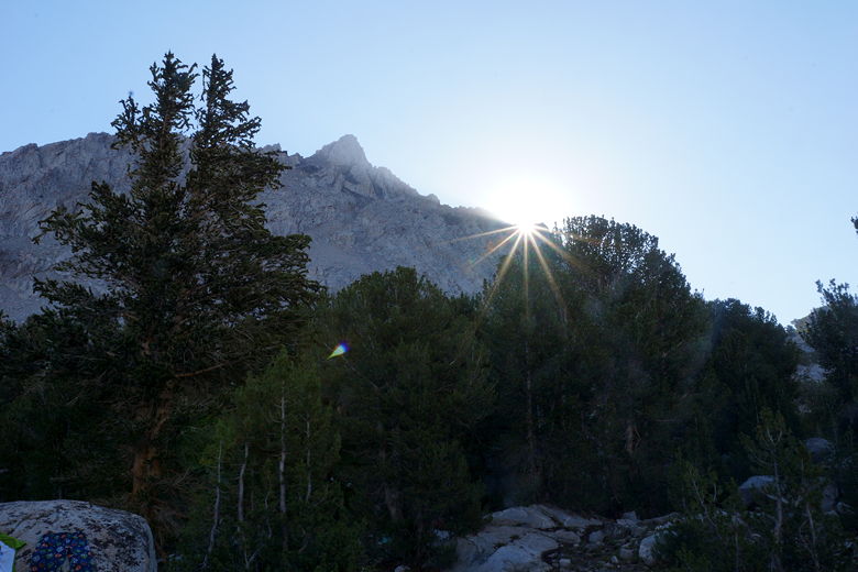
Starburst at Rae Lakes sunrise
It was sunny with no rain clouds in sight when we left Rae Lakes
at 9:40am. We returned to the main trail, which starts out flat
as it travels the isthmus between two of the lakes. Then there's
an intersection with the trail to the right heading toward
Sixty Lakes Basin. We turned left and soon started heading up
toward Glen Pass.
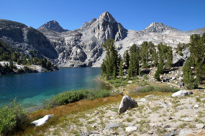
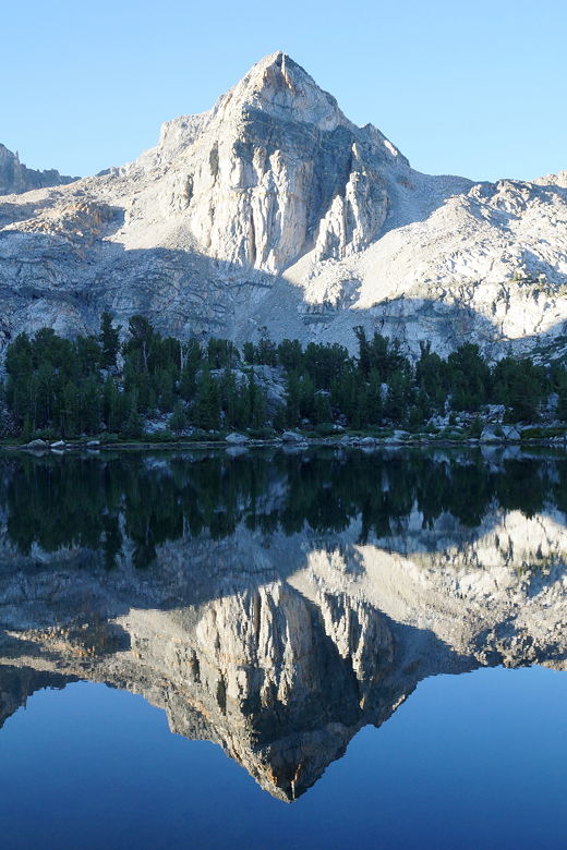
Painted Lady over Rae Lakes
Neil, at about 6 foot 4 and in great shape, took the lead.
My 11 year old son Nathan kept up with him the whole way. The
rest of us were spread out below, hiking at our own pace.
We'd regroup at the top soon enough. Someone had said that it
took them two and a half hours to reach the top, but I was very
skeptical of that time. I was sure we would do it in under two
hours. It's only 2.6 miles and about 1400 feet of climbing to
the top from the campsites near the bear box at Rae Lakes.
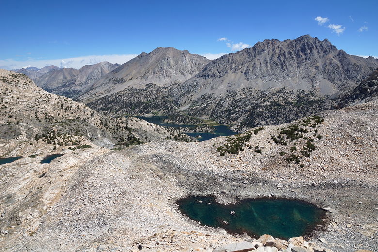
As we climbed, we gained views of Rae Lakes below, and then
several unnamed lakes above tree line. Nathan and Neil
reached the top in about 1 hour 30 minutes. The rest of of
reached the top about 15-20 minutes later. It sounded like
a big party on top of the pass, with numerous groups of hikers
sharing the pass. Patrick was there, and left while we
took a break. Perhaps we'd see him at camp tonight.
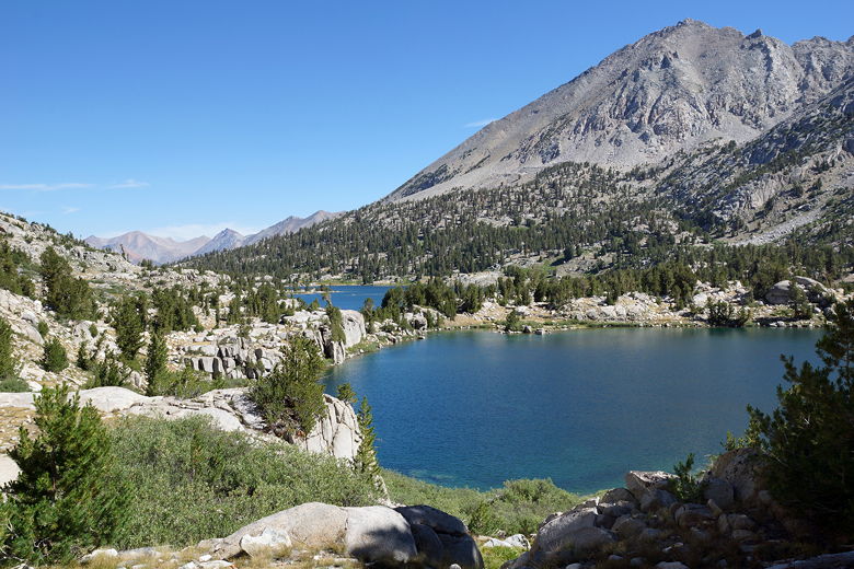
View of Rae Lakes
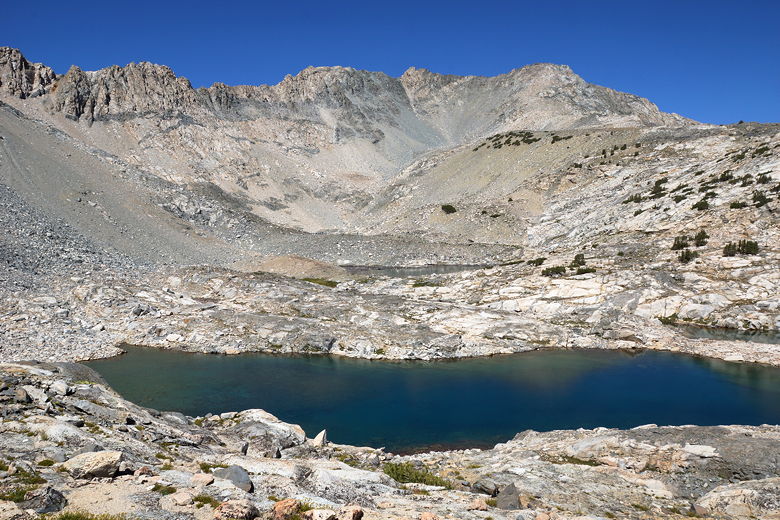
Unnamed lake on way to Glen Pass
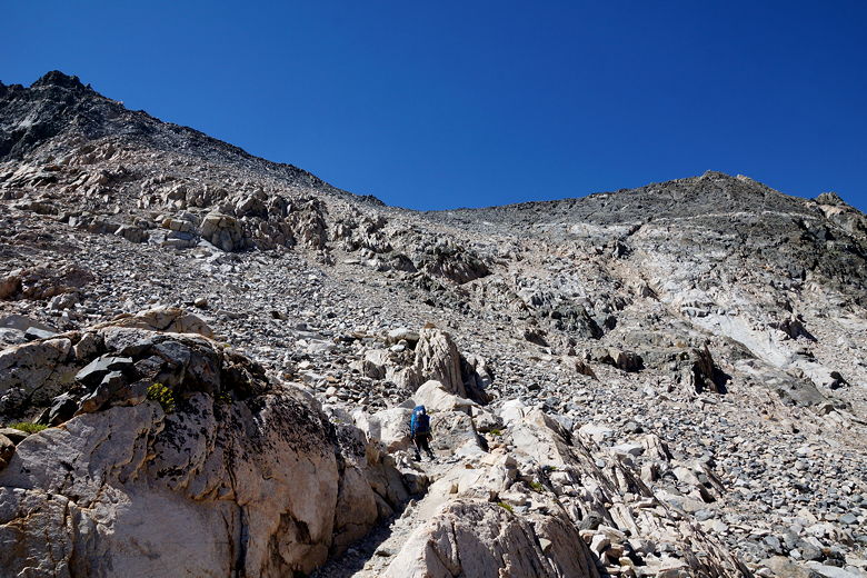
Climbing up to Glen Pass
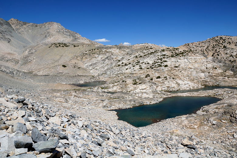
Unnamed lakes below Glen Pass
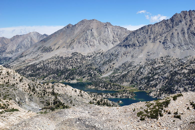
Rae Lakes
View from near Glen Pass
After a break, we now descended the switchbacks to the first
lake on the other side of the pass. This is where Neil and
Jon had camped two nights ago. We stopped here so that Neil
and Jon could filter water. Neil took the opportunity to jump
right into the freezing lake, momentarily stunning himself in
the process. I took a more conservative
approach, putting on my water shoes and walking in. Even
that was cold, but refreshing.
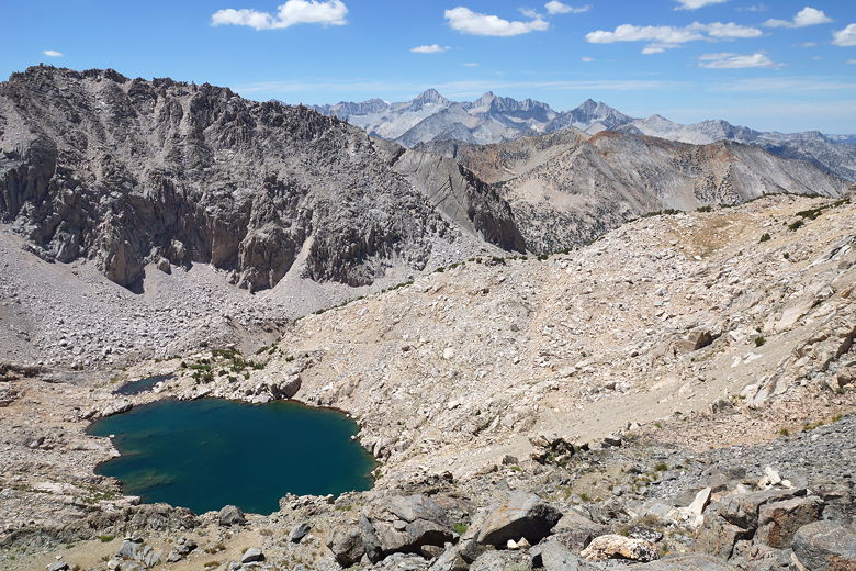
View looking southwest from Glen Pass
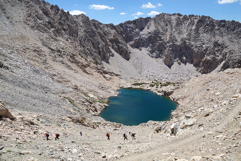
Descending to lake below Glen Pass
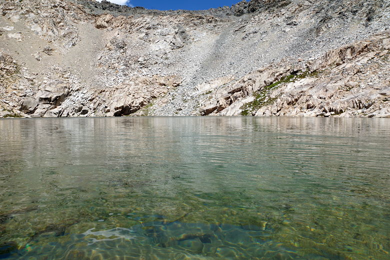
Unnamed lake below Glen Pass
After a long relaxing break at the lake, we left it at 1:15pm.
The descent now continued toward the Charlotte Lake
intersection, but there were a few brief sections here that
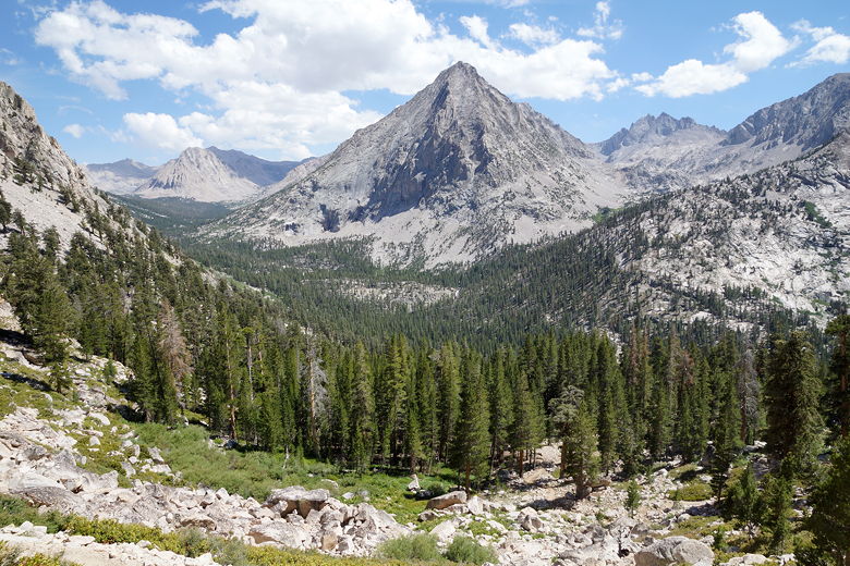
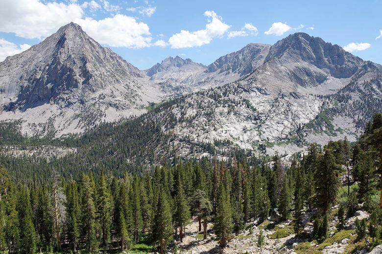
were actually slightly uphill. As we descended, we had nice
views of the Charlotte Creek valley leading toward a bare
granite peak. Soon after that we could see Charlotte Lake
itself. The lake isn't on the JMT itself, but is
accessible via a side trail.
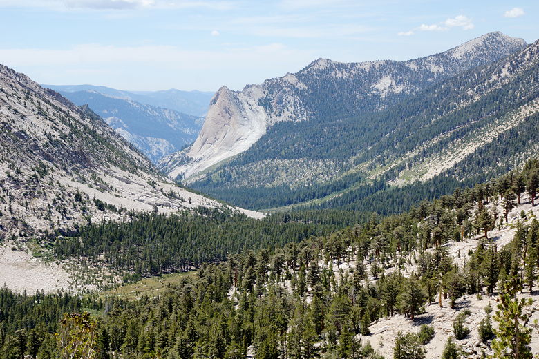
Charlotte Creek valley
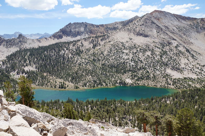
Charlotte Lake
We reached the Kearsarge Pass intersection. A note on the
sign mentioned a man of interest who the rangers were
looking for (there was a similar note near the
Rae Lakes ranger station). A group here said they'd actually seen
him a few days ago heading in the opposite direction,
and said he was harmless. I heard afterward that he had
threatened some horse packers in some manner. We all joked
that much of the description of the man in the note could have
fit many people on the trail (5' 10", holes in pants, unusual
social behavior).
After a break, we continued briefly through a flat barren landscape
that looked more like a desert, before reaching another intersection
for Kearsarge Pass (via Bullfrog Lake). Now began a long steep
descent on switchbacks, with great views looking south.
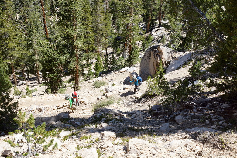
Switchbacks down toward Vidette Meadow
View on the descent to Vidette Meadow
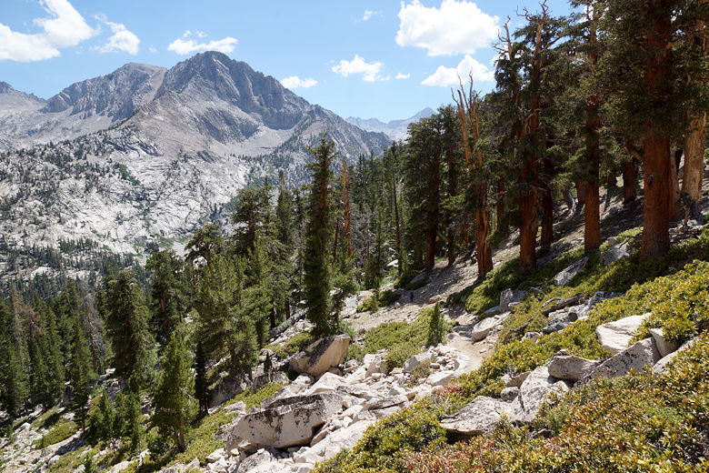
Descent to Vidette Meadow
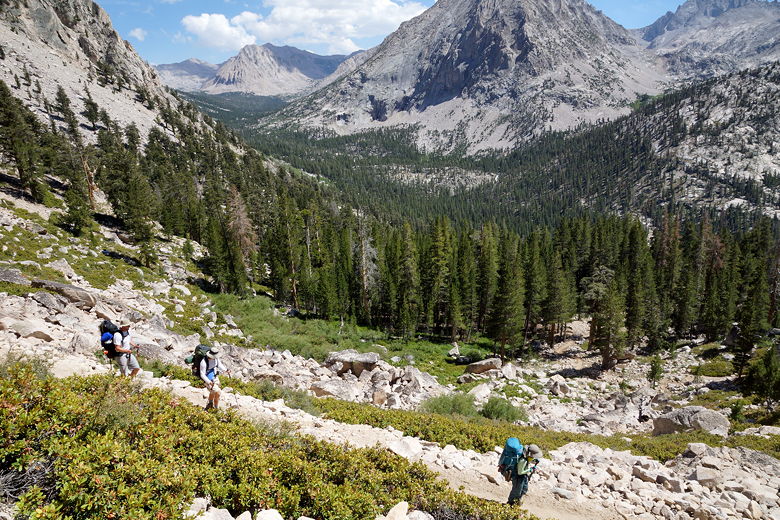
Descending toward Vidette Meadow
Mountain view
We reached the bottom of the descent at 3:30pm. To the right was
lower Vidette Meadow, which Jean and I had camped at in 2001.
This time, we stayed on the JMT, headed toward upper Vidette Meadow.
The trail starts out flat before starting an 800 foot ascent
to the Center Basin crossing.
The map makes it look like a gradual ascent, but the first section of
climbing is actually fairly steep. Along the way we passed many people
camping near Vidette Meadow and along Bubbs Creek. Our goal was to
get as far as possible to make the climb up to Forester Pass less
daunting tomorrow. If we had camped near the Vidette Meadow
intersection, the climb tomorrow would have been over 3650 feet, so
anything we could do today to lessen that would be appreciated tomorrow.
Bubbs Creek
The climb started in the forest, then broke out into more open forest.
We started to see some campers again. We came across a site next to
the creek, but eventually decided it was too small for our three tents.
We kept going a little further and soon came to the bear box just
before the Center Basin creek crossing. Somewhat surprisingly, there
was only one other group here. Apparently there was another set of
campsites a little further up that was more crowded. We found a
nice site here, away from the bear box.
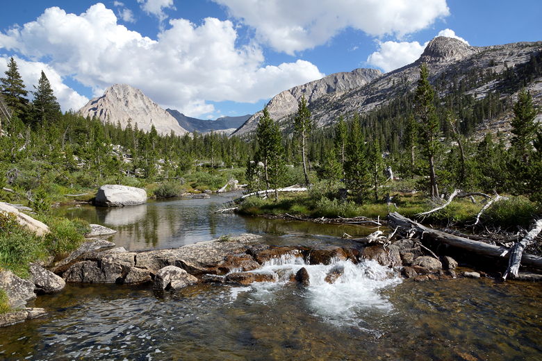
Bubbs Creek near our campsite
We made the short walk down to the creek to get water and to play,
but we didn't have long before the sun disappeared and it got cold -
the sun disappeared behind a mountain at 6:30pm (even though sunset
was about 8pm). At least we had a pretty campsite, with great
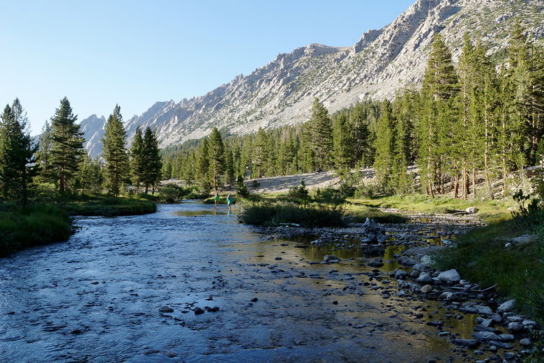
views of the creek and the surrounding mountains.
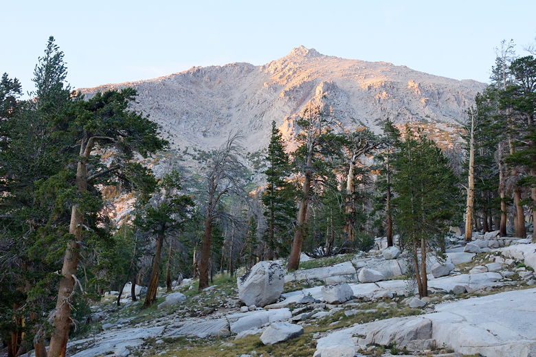
Late afternoon light
Bubbs Creek
After we turned in for the night, we started to hear the all-too-familiar
sound of horses with bells. They must have walked by our tents 4
times during the night. Back and forth. Neil said he saw one of them
sort of circling our tent for some reason, and horses had come close
to all 3 of our tents. Thankfully, no damage was done, though.
We hadn't noticed any horse packers on the way in. We had passed some
horses about a mile or two back, but I wasn't sure if these were the
same horses.
| 

